
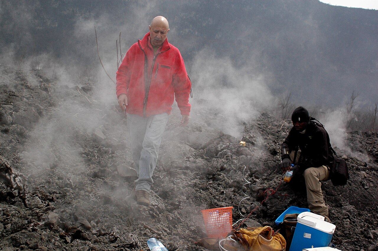
Summit Caldera and Eruptive Structure
The summit of Nyamuragira is occupied by a caldera measuring approximately 2 km by 2.3 km, with walls reaching up to around 100 m in height according to Smithsonian records. A lava lake was documented there from at least 1921 and drained during a flank eruption in 1938.
Eruptions have originated from both the summit caldera and from fissures and cinder cones on the flanks. The lavas are high-potassium basaltic in composition, a geochemical distinction recorded by the Smithsonian that differentiates Nyamuragira's products from those of Nyiragongo.
Lava Flows and Landscape
Flank eruptions have produced lava flows that reached toward Lake Kivu, adding to overlapping lava fields that extend outward from the mountain. NASA Earth Observatory orbital imagery has been used to study these surfaces, with flows of different ages distinguishable by surface texture visible from orbit.
Regional Volcanic Context
Nyamuragira sits in the western branch of the East African Rift within the Virunga volcanic field, north of Lake Kivu. The Smithsonian Global Volcanism Program treats it as a distinct entry from Nyiragongo, reflecting their different eruptive styles, compositions, and structural forms within a shared regional tectonic setting. Observations spanning at least the early twentieth century through contemporary satellite analysis provide a longitudinal record of how a basaltic shield in an active rift sustains and varies its activity over time.