
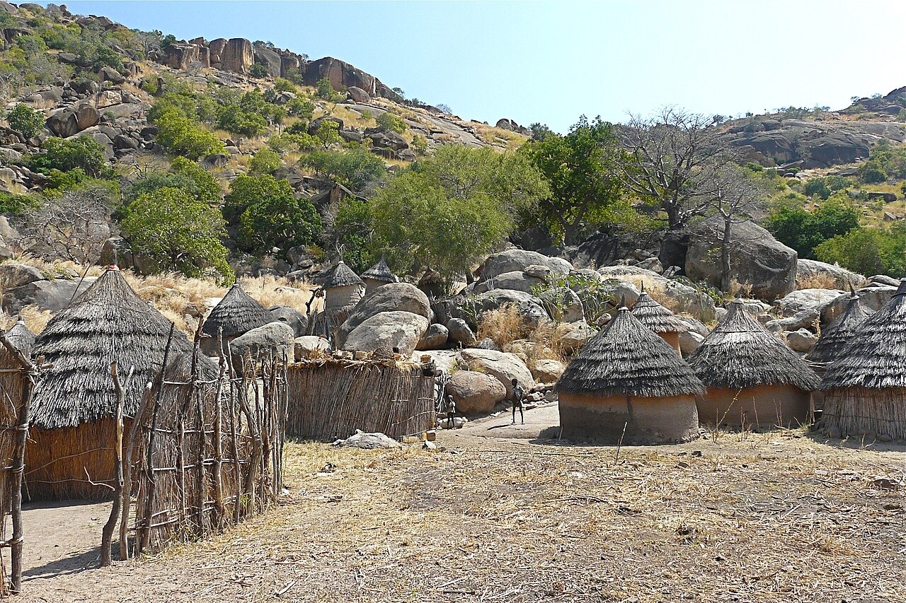
Scattered Massifs and Intervening Plains
The range presents no continuous ridge. Discrete massifs and clusters of lower hills rise from wide plains at intervals across the region. Al Neelain University terrain research records this pattern of separated uplifts as a defining characteristic of the South Kordofan landscape, producing sharp local relief at each massif even where surrounding ground remains broadly level.
Dome-Form Geology and Exposed Basement Rock
Al Neelain University geological study describes the region as broadly dome-shaped in overall structure, with individual massifs rising steeply from the surrounding terrain. Ancient basement formations are exposed across the uplifted areas. The research notes that steepness and isolation are consistent features of the studied massifs, though rock composition varies among different groups.
Nuba Peoples and Hillside Cultivation
The Chr. Michelsen Institute annotated bibliography documents the Nuba as a diverse grouping of peoples, distinct in language and culture, with communities distributed across the hills and their margins. The United Nations Environment Programme regional report records villages positioned on and near the slopes, with cultivated fields extending along hillsides where local topography supports agriculture.