
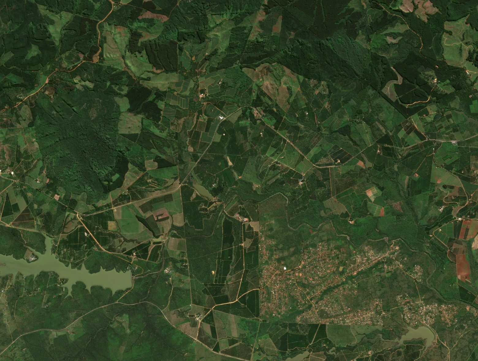
Rain on the southern foothills
A 2019 study of the Luvuvhu catchment describes relatively high rainfall near the farming areas of Levubu and Tshakhuma and less around Mhinga, farther downstream. The Soutpansberg influences where that rain falls. On the southern foothills, the irrigation scheme carries some of the river’s water to farms in the valley.
Upstream, Albasini Dam was completed in 1952 to supply water for homes and irrigation. The Department of Water and Sanitation records that spillway gates raised the dam by three metres in 1970–71.
The farm in the archives
An official notice dated 12 July 1985 listed Nooitgedacht 14 LT among the farms covered by seasonal restrictions on outdoor fires. The notice is one record of the names and boundaries used in this landscape.
Research published by the University of Limpopo in 2022 traces dispossession in the wider Luvuvhu Valley through the history of the Ravele community. The study examines changes in access to land from 1890 to 1994.
Gauging stations and what each one measures
The Department’s 2015 report dates records from two Nooitgedacht measuring points to 1946. The broad-crested weir, numbered A9H005, was suited to higher flows. A separate gauge, A9H023, tracked the water that was diverted into the canal.
Records from the downstream gauge A9H028 begin in 2003. Investigators used its readings to check estimated flows when the river was low. Read together, the records show what passed down the main channel and what was drawn off for irrigation.