
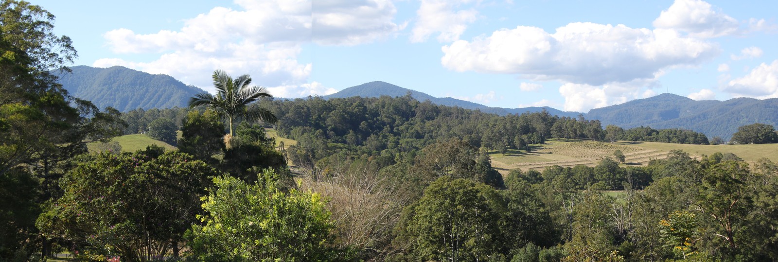
Landform and Structure
The range forms part of the eroded remnant of the Tweed shield volcano. Its upper sections are capped by basalt, including the Blue Knob basalt, while steep gullies cut deeply into the volcanic mass. The Terania Creek basin lies beneath its cliffs, contained within a landscape shaped by long erosion of the original volcanic form.
Conservation and Legislative History
In August 1979, protesters physically blocked bulldozers entering the Terania Creek rainforest, an action that became a turning point in Australian environmental campaigning. The Forestry Revocation and National Park Reservation Act of 1983 reserved part of the Nightcap National Forest as Nightcap National Park. Portions of the park are now included within UNESCO's Gondwana Rainforests of Australia World Heritage listing.
The Nightcap Oak
Botanists documented the tree known as Nightcap oak in 2000. It was described as Eidothea hardeniana, a member of the Proteaceae family, in 2002. A joint New South Wales and national recovery plan followed in 2005.