
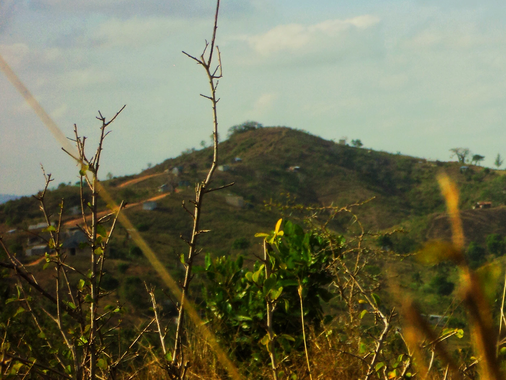
The ridges above Kisauni
Nguu Tatu is the local name for three hills on the inland ridge. David Mugalla’s photograph shows one of them near Concordia in February 2020, with a track winding up through scrub.
The district plan describes a broad, low coastal plain and an undulating sandstone plateau around Kisauni. Toward the western edge, slopes rise more steeply along Nguu Tatu.
Two ages of rock
The 1953 geological map recorded the rocks of the wider Mombasa–Kwale area. In 2017, Idowu and colleagues described fossil-bearing shale from the Late Jurassic along the Nguu Tatu ridge at the western edge of their study. Closer to the sea lie much younger Pleistocene coral limestones and lagoonal deposits.
The hills as a boundary
A 2005 study used Nguu Tatu as the western boundary of its Kisauni groundwater model. Mtwapa Creek marked the north, Tudor Creek the south, and the Indian Ocean the east. The ridge gave the team a landmark for defining the inland edge of their study.
Researchers collected 42 water samples across three rounds in March, June and September 2016. In the results they published in 2017, they identified seawater intrusion as the main influence on the chemistry they measured. They also considered rainfall seeping into the ground and minerals dissolving along the way.