
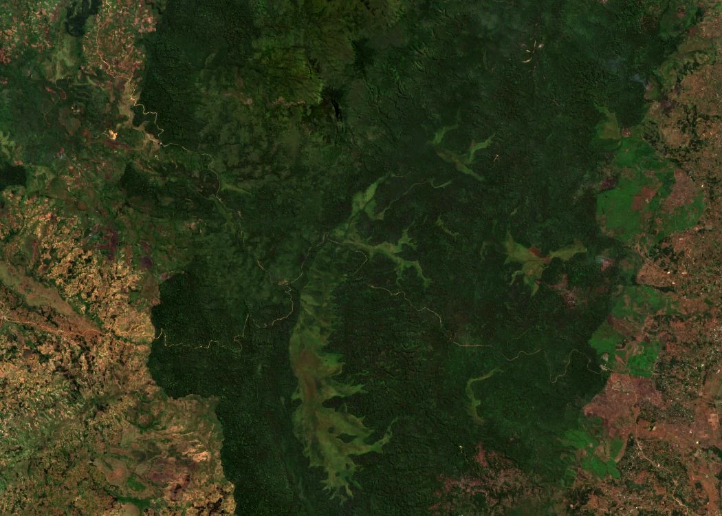
A faulted plateau and its basins
In his thesis defended at the University of Liège in 2012, Kabonyi Nzabandora describes a faulted plateau at the foot of Mount Kahuzi whose depressions host wetland areas. Ngushu, at an elevation of 2,202 m, and Cishaka, at 2,260 m, are two distinct basins located south of the massif. These terraces correspond to former lacustrine environments that gradually transformed into swamps. Field surveys from 2012 recorded sedges in the studied wetlands, notably Cyperus denudatus and Cyperus latifolius, contrasting with the surrounding forest formations.
Six millennia of pollen at Ngushu
Kabonyi Nzabandora and Roche published in 2015 the analysis of a sediment core extracted at Ngushu, approximately eight meters in length. Five radiocarbon dates place the layers in time. The proportions of the various pollen types provide information on the vegetation that surrounded the marsh over those six millennia. The authors describe a diverse moist forest around 6,000 years before present, then, around 4,000 years before present, an expansion of grasses that they link to a drier episode. A more turbulent phase, associated with bamboos and indicators of erosion, appears between approximately 2,700 and 2,000 years before present, followed by forest recovery.
The long sequence at Cishaka
Work published in 2015 by Kabonyi Nzabandora and colleagues on the sedimentary sequence at Cishaka offers a broader chronological window, reaching approximately 35,000 years before present. A thin layer of pollen-free sand marks, however, a gap between the end of the Pleistocene and approximately 6,000 years before present. By comparing the two cores, the researchers were able to match certain vegetation phases and identify the gaps specific to each marsh.