
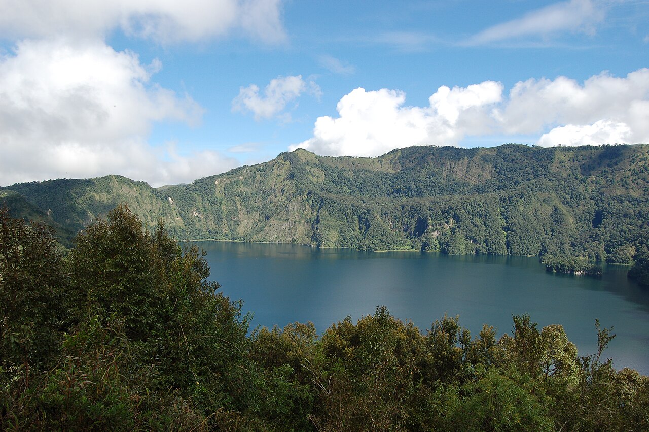
Caldera Formation and the Kitulo Pumice
The Smithsonian Global Volcanism Program tentatively links caldera formation to an eruption associated with the Kitulo Pumice, dated to approximately 10,200 calibrated years before present. That deposit provides one of the clearest stratigraphic markers in the Rungwe Province for correlating eruption chronology across the region.
Latest Known Eruption and Pyroclastic Deposits
The latest known eruption at Ngozi is dated to around 1450 CE. Pyroclastic flow deposits from that event have been mapped extending southward from the caldera. The Smithsonian records this activity in its eruption history for the volcano, catalogued under Global Volcanism Program entry 222164.
Tectonic Setting in the Rungwe Volcanic Province
Research published by Fontijn and colleagues through the Royal Museum for Central Africa places Ngozi within a faulted tectonic framework governing volcanism across the Rungwe Province. The province sits at a segment of the East African Rift, and the structural controls documented in that study help explain the spatial distribution of volcanic centers along Poroto Ridge.