
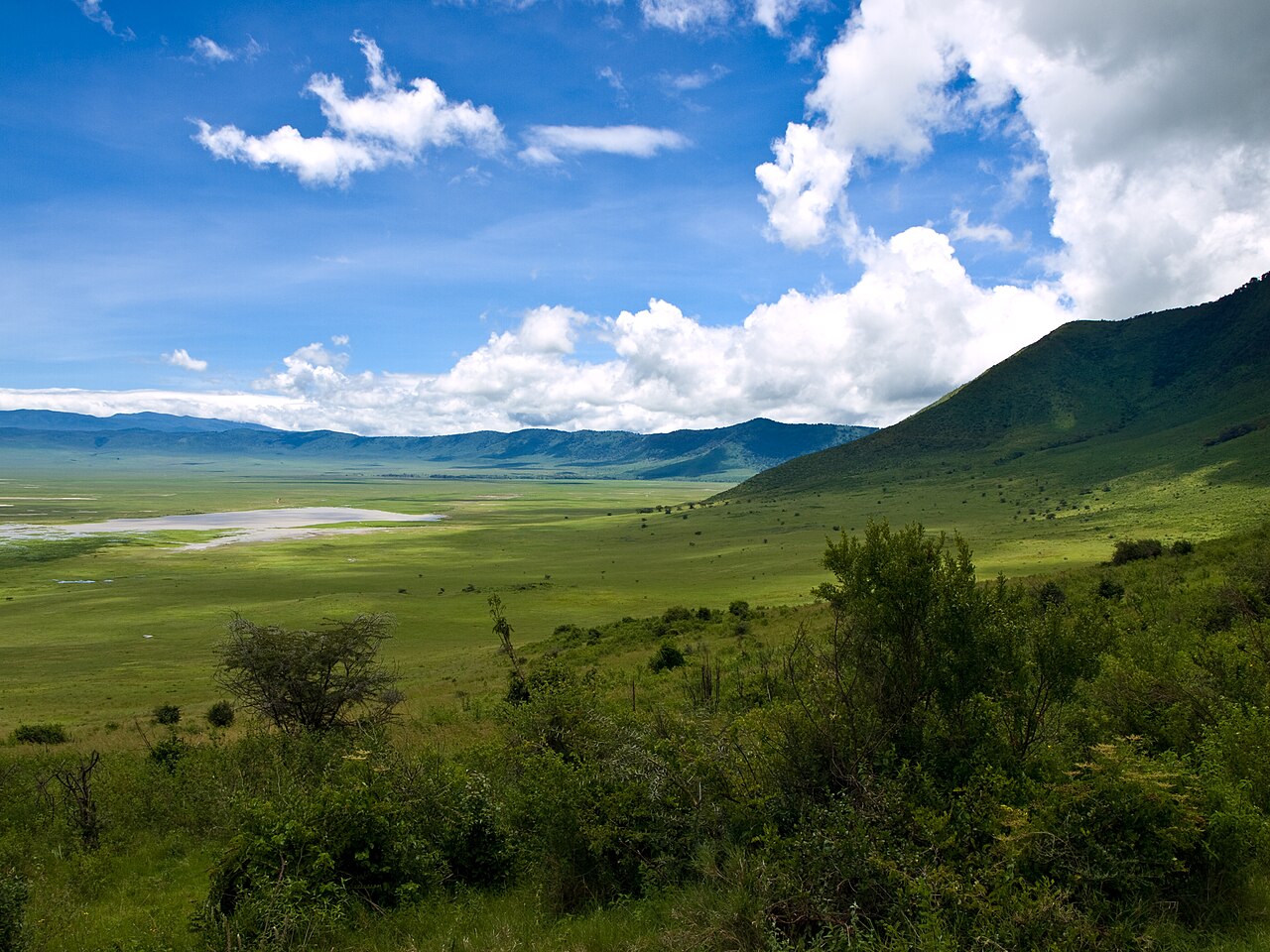
Caldera Formation and Floor
The depression enclosed by the rim formed when a volcanic edifice collapsed inward, creating what geologists classify as a caldera. The floor covers about 260 square kilometres and supports grasslands, springs, wetlands, and the shallow soda lake known as Lake Magadi, also called Makat. The caldera is roughly 20 kilometres across, with a maximum relief of about 610 metres between the floor and the rim crest. The eastern rim carries montane forest, a habitat distinct from the open conditions of the floor below.
Conservation and Heritage Status
The Ngorongoro Conservation Area was established in 1959. UNESCO inscribed it on the World Heritage List in 1979 on the basis of natural values, and in 2010 extended the inscription to include cultural criteria, recognising the wider landscape's archaeological record and its long association with Maasai pastoralism. Those cultural attributes belong to the broader conservation area, not exclusively to the crater or its rim.
Elevation and Setting
The rim lies in northern Tanzania within the Ngorongoro Conservation Area. Elevations along it range from approximately 2,100 to 2,400 metres above sea level, according to the Conservation Area Authority, reflecting an uneven perimeter rather than a single summit. The floor sits at around 1,700 metres, placing the two environments within continuous view of each other across a vertical separation that reaches up to about 610 metres at its greatest.