
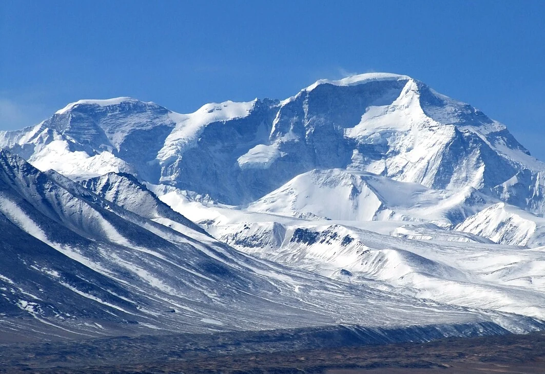
Position and Elevation Record
Ngojumba Kang I occupies the ridge connecting Cho Oyu to Gyachung Kang in the Khumbu Mahalangur. H. Adams Carter's 1985 American Alpine Journal nomenclature study and the Japanese Alpine Club's modern catalog both record the summit at 7916 m, a figure supported by the HMG-MT, HMG-Finn, and Kielkowski surveys. The Schneider and Japan MMW historical maps assign the lower figure of 7806 m to the same point. The separate summits Ngojumba Kang II at 7743 m and Ngojumba Kang III at 7681 m continue the same ridge further toward Gyachung Kang.
First Ascent via the South Face
On 2 November 1982, Ang Tshering Sherpa and Dorje Sherpa reached the summit via the south face, with climbing leader Kim Young-Han following approximately thirty minutes later. The expedition was led by Park Dong-Gyu. Both the Himalayan Database archive and the correspondent's report in the 1984 Deutscher Alpenverein Jahrbuch document this first ascent of Ngojumba Kang I.
The 1965 Ascent and Tenzing Peak Designation
An ascent in 1965 by Naomi Uemura and Pemba Tenzing Sherpa was later identified by the American Alpine Journal and the Himalayan Database as Ngojumba Kang II at 7743 m rather than Ngojumba Kang I. Nepal listed Ngojumba Kang I in 2014 under the alias Tenzing Peak.