
Summit Forests and Elevation Bands
The Vietnam Forest Inventory and Planning Institute and BirdLife International conducted surveys documenting the mountain's vegetation gradient from lower montane forest into wet upper montane conditions near the summit. This mist-laden elevational range supports species assemblages tied to specific altitude bands recorded within the mountain's own forest cover.
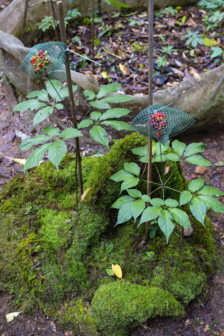
Ginseng Documentation and Geographical Indication
Formal scientific documentation of Ngọc Linh ginseng began in 1973. The Intellectual Property Office of Viet Nam administers a geographical indication for the species, governing regulated origin and defined production areas that establish certification standards for cultivation on and around the mountain's forested slopes.
Provincial History and Protection Area
The mountain sits near the historical Kon Tum and Quảng Nam province boundary, names reflecting administrative geographies that shifted over time. Following an application from Quảng Nam, the protection area boundaries were subsequently amended, extending formal recognition across the mountain's range within the Central Highlands administrative setting.