
Two Names in the USGS Atlas
The USGS historical glaciological atlas lists the peak under both Ngga Pilimsit and Idenburg-top, with coordinates given to minute-rounded precision. The dual entry records genuine parallel usage across the cartographic history of central New Guinea; both names apply to the same summit at the recorded location in the Sudirman Range.
Ice Dome and Glacier, 1942–1972
By 1942 the summit carried an ice dome and a lower glacier recorded as joined in the USGS atlas. A 1972 oblique aerial photograph taken from the south and west looking east, documented as Figure 9 in the atlas, shows the two bodies visibly separated, capturing decades of ice retreat in a single frame.
Satellite Boundaries, 1983–2003
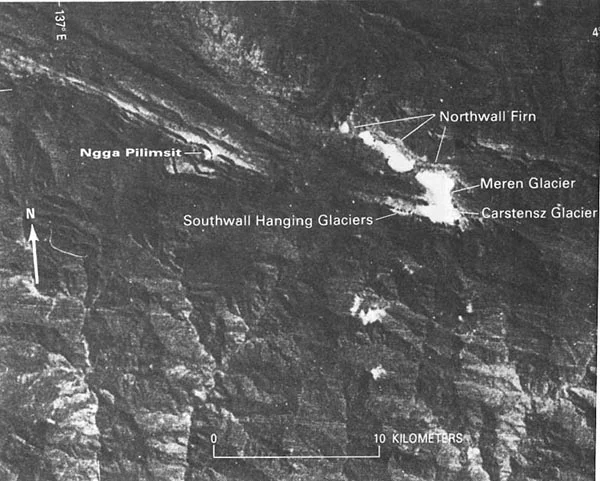
A Journal of Glaciology study documents surviving ice at Ngga Pilimsit in Landsat imagery acquired 19 March 1983. ASTER imagery from 9 May 2003 and Landsat from 29 May 2003 record the formerly glaciated location as absent of ice, bounding the disappearance of the peak's permanent ice within that interval.