
Basin Landforms and River Hydrology
The 1980 Morogoro Domestic Water Supply Plan traces the Ngerengere River's headwaters to elevations of 1,200–1,600 metres in the northwestern Uluguru Mountains, then follows the channel as it drops to a broad valley southwest of Morogoro at 500–520 metres. That plan records two distinct changes in channel gradient and attributes each to contrasting underlying rock types, distinguishing the geology of the upper and lower catchment sections. The valley floor's shallower gradient continues east from this point toward the Ruvu confluence.
Farther east, the river passes through gentler, rolling country around Ngerengere before joining the Ruvu. The two sharper breaks in the river’s gradient helped the 1980 survey distinguish sections underlain by different rock.
Railway Station and Early Transport Record
Work on the Central Line began in Dar es Salaam in 1905, and the section to Morogoro opened on 16 December 1907, according to Northwestern University’s Humphrey Winterton Collection. Ngerengere became a stop on the line. The Deutsches Historisches Museum holds a glass slide of the station dated between 1913 and 1918.
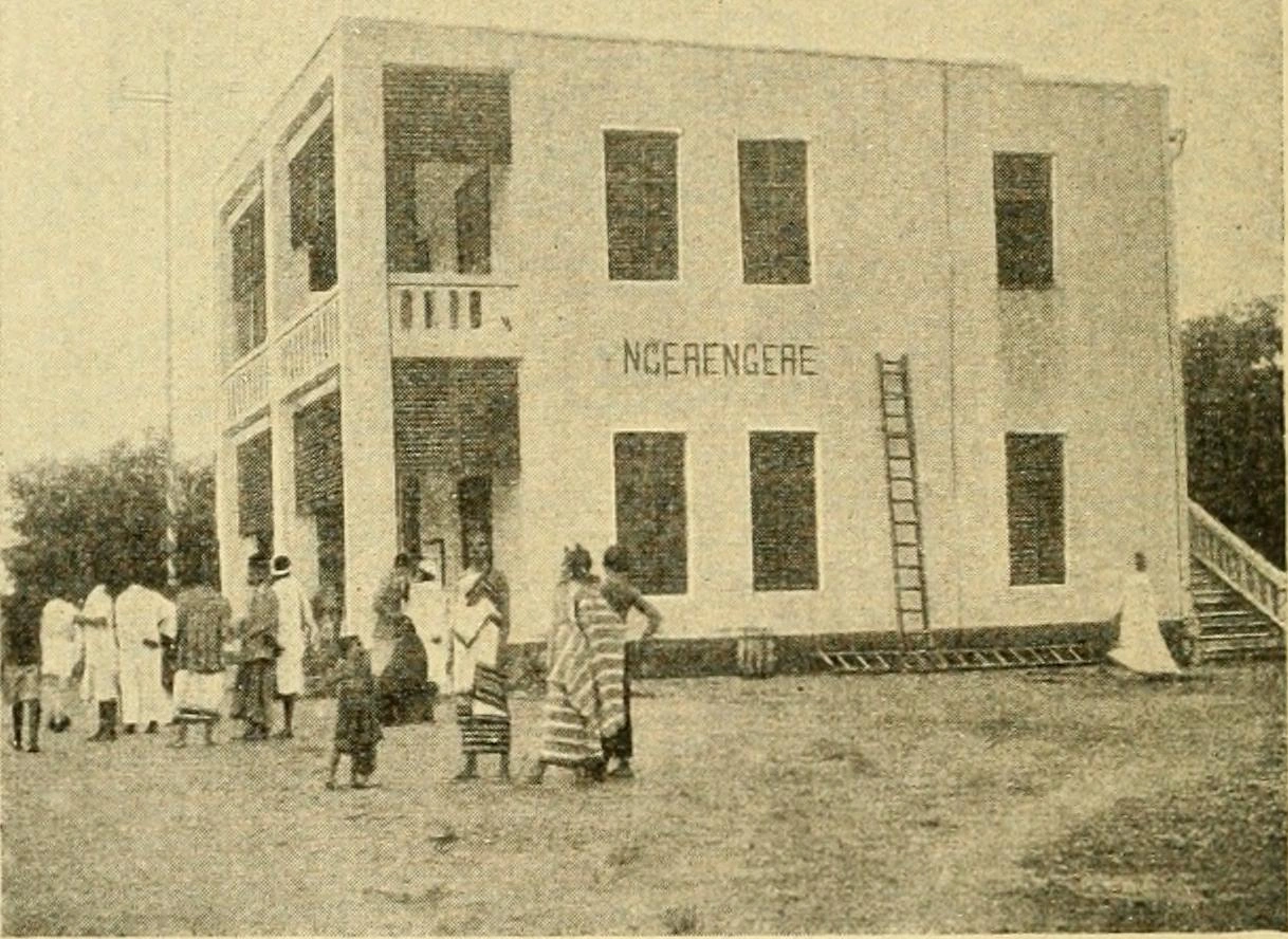
The photograph shown here comes from Albert Friedemann’s 1921 catalogue of postal history. It shows the station and post office, with the name Ngerengere on the wall. The photograph’s date is unknown. Tanzania Railways Corporation later used the station as one end of its proposed Ngerengere–Kilosa metre-gauge works.
River, Catchment, and Land Cover Change
A study published in Hydrology in 2024 examined the section through the city of Morogoro and its tributaries. The team compared changes in land cover close to the rivers with records of water flow and measurements of water and sediment. It adds a local record of the river’s urban stretch upstream of the hills near Ngerengere.