
The summit on the maps
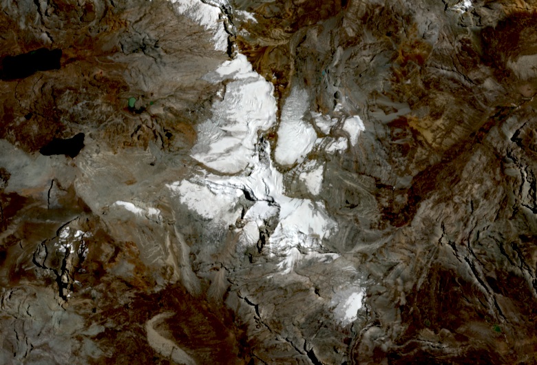
The Instituto Geográfico Nacional records the name Ticlla on its 1:25,000-scale map. The decree that established the Nor Yauyos-Cochas Landscape Reserve in 2001 runs its boundary through the summit, at 5,897 meters. The reserve spans areas of Lima and Junín, and the peak falls within the Lima sector.
The 1963 expedition
In 1963 a Barcelona expedition led by José-Manuel Anglada established its camp at the lake that its report calls Huascaicocha. From there it climbed Cotoni and other summits around Ticllacocha. Anglada's account, published in 1964, gave the peak an elevation of 5,817 meters at the time.
The 2009 descent
On May 8, 2009, a French rope party climbed via the southwest face and crossed to the southeast face. Two of its members descended on skis. The third fell ill during the descent, and his companions and neighbors from Miraflores took part in the rescue.
Seven stakes on the glacier
In June 2016, INAIGEM placed seven stakes to measure ice loss on the Ticlla glacier. The team also dug a pit in the accumulation zone. The glacier under study extends over Pichchahuaira, to the northwest of the peak, in the Ticllacocha sub-basin, which contributes water to the Cañete River.