
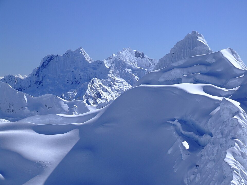
The 1971 cartography
The 1971 expedition cartography assigns the elevation of 6,046 m to Pucahirca Norte I, a peak also known as Pucahirca Norte. That figure is an independently derived reference for this high sector of the massif.
First ascents by summit
The 1971 reconstruction attributes the ascent of Pucahirca Sur to Erwin Schneider in 1936. In 1955 an American expedition reached Norte II believing they had stood on the highest summit. In 1961 a Japanese expedition reached the point identified as Norte I in the 1971 cartography, and that same year an Italian expedition climbed the Central.
Glaciers and Laguna Arhuaycocha
An INAIGEM report links the glaciers of Pucajirca, including the southern sector of the massif, and those of the neighbouring Rinrijirca, situated above Laguna Arhuaycocha, with that body of water in the Santa Cruz basin. The report establishes a connection between those glacial masses and the laguna without attributing all drainage to the northern summits.