
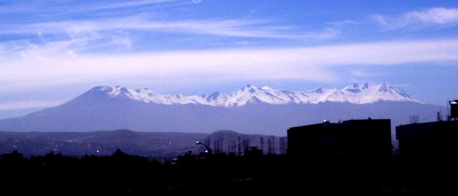
Geology of an eroded volcano
Parodi's report identifies in Pichu Pichu alternating layers of andesitic lavas and pyroclastic deposits distributed across several eroded edifices, which together form an elongated ridge with distinct peaks. This configuration reflects a massif in an advanced state of dismantlement.
Ceremonial remains at high altitude
In 1963 climbers ascending the upper elevations of Pichu Pichu reported the discovery of walls and structural remains. Subsequent investigations documented a ceremonial site with stone enclosures and offerings, integrated within the Andean tradition of high-altitude sanctuaries.
The ancestor Urpicha and the High-Altitude Sanctuaries Project
The Southern Andean High-Altitude Sanctuaries Project linked Pichu Pichu to the ancestor known as Urpicha, held by the Museo Santuarios Andinos of the Universidad Católica de Santa María de Arequipa. The project's reports place this find in the context of high-altitude archaeology in the southern Andes.