
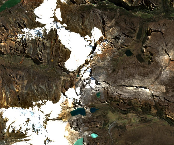
First ascent and summit name
On 16 July 1960, the Peruvian Jacinto Depas and the New Zealander Lindsay Stewart reached the summit that their account identifies as Condor Peak, with a measured elevation of 17,075 feet. Two days later, Richard Wood and R. Maurice Davis repeated the ascent. The 1970 editor confirmed that this Condor Peak corresponds to Maparaju. Herders on the eastern side had long known the mountain by that name.
Activity in the Quilcayhuanca valley
In 1969 an expedition to the Quilcayhuanca valley established a shared base camp in Quebrada Tullparaju, from which five parties brought 29 climbers to the summit of Maparaju.
Geography of the sector
The Huascarán National Park cartography describes the connection between the quebradas of the area via Abra Villón. From the Tullparaju camp, the summit of Maparaju lay to the southwest.