
Morphology and lagoon
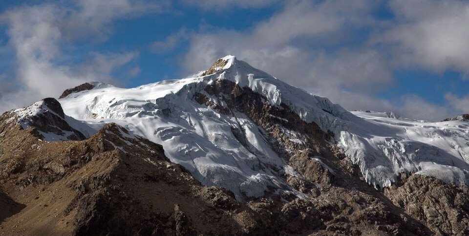
At the foot of the west face of Nevado Ishinca lies the lagoon of the same name. The relief of the quebrada bears the imprint of glacial erosion that has shaped the valley.
Climbing history
According to Andeshandbook, in 1954 P. Baltazar, C. Fernández, C. Morales, M. Romero, and F. Suazo reached the summit via the glacier and the southwest ridge. The same compilation records an ascent of the west face in 1964 and two ascents of the northeast ridge in 1965.
Glacial sub-basin
In the inventory of the National Water Authority, the Ishinca sub-basin groups ice units belonging to several peaks in the area, including Urus and Tocllaraju. This classification distinguishes the sub-basin as a hydrological unit from the glacier and summit of each individual peak.