
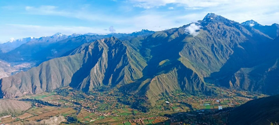
Geology and moraines
The mountain is formed from Palaeozoic granitic rocks shaped by glacial erosion. The moraines distributed across the valley constitute the physical record of earlier stages of greater ice extent.
Glacial retreat and incipient lake
Comparing images from 1963 and 2010, geological studies documented the retreat of the glacial tongue on Chicón. Over that interval a lake began to form at the glacial front.
The 2010 aluvión and the Occororuyoc plain
On 17 October 2010, a detached block of ice fell into the incipient lake. Water and sediment descended through the quebrada toward Urubamba, causing damage along the way. The Occororuyoc plain retained the bulk of the transported sediment, so that only a fraction of the flow reached the city.