
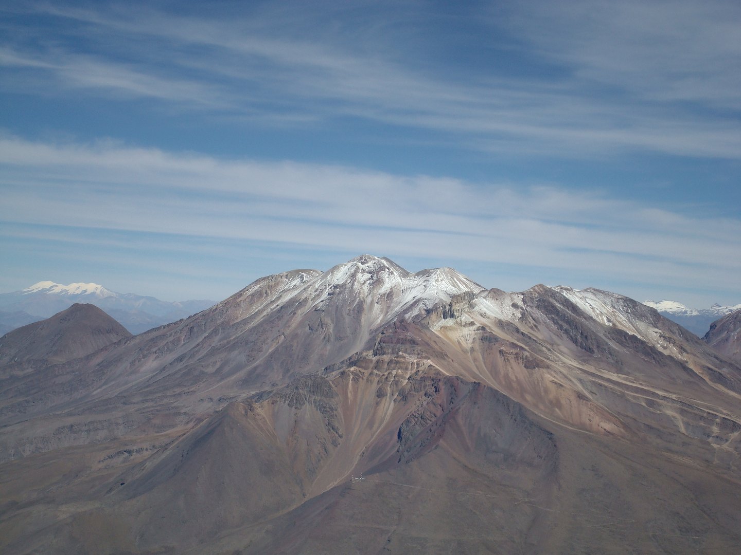
Architecture of a volcanic complex
The IGP describes Chachani as a group of independent edifices and vents through which lava flows descended during distinct phases. INGEMMET has mapped deposits corresponding to explosive episodes and to lava flows and domes — features that reveal an eruptive history of several stages superimposed within the same massif.
Seismic monitoring since 2018
In 2018 the Instituto Geofísico del Perú expanded its monitoring network to include Chachani alongside other volcanoes in the south of the country. Records from that campaign documented low-level seismicity.
Lahars on the southern sector
In 2021 INGEMMET published a lahar hazard map for the southern sector of Chachani. The map shows how rainfall over the terrain and accumulated volcanic sediments can generate flows through the gullies of that zone without any active eruption. The mapped extent covers that southern sector of the volcano.