
A dome on the watershed divide
Law No. 32239, published on 10 January 2025, describes a section of the Cusco–Puno boundary that follows the watershed divide and passes through Ananta and Qoyllur Puñuna. On one side lies Checacupe, in Cusco, and on the other Corani, in Puno. Meltwater from the Quelccaya system feeds the Urubamba and Inambari basins, both part of the Amazon system.
The ice between the summits
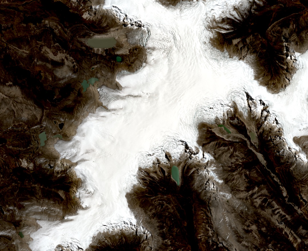
In the satellite image of 26 August 2026, ice pushes through rocky slopes, with small lakes beyond its margins. Between 2018 and 2024, INAIGEM surveyed the ice cap with a radar capable of detecting the bed beneath the ice. Measurements and the terrain model placed some of the greatest thicknesses between the Ananta and Qoyllur Puñuna domes, at around 209 ± 10 meters.
Layers that preserve the history of climate
In 1983, Lonnie Thompson's team extracted two ice cores down to bedrock beneath the main dome of Quelccaya. In the ice, successive snowfalls leave distinct layers. The dust and oxygen isotopes in those layers helped reconstruct some 1,500 years of climate history in a study published in 1985.
By comparing maps from 1962 and 2020, INAIGEM calculated that the Quelccaya glacier system lost around 49% of its surface area.