
Terrain and geology
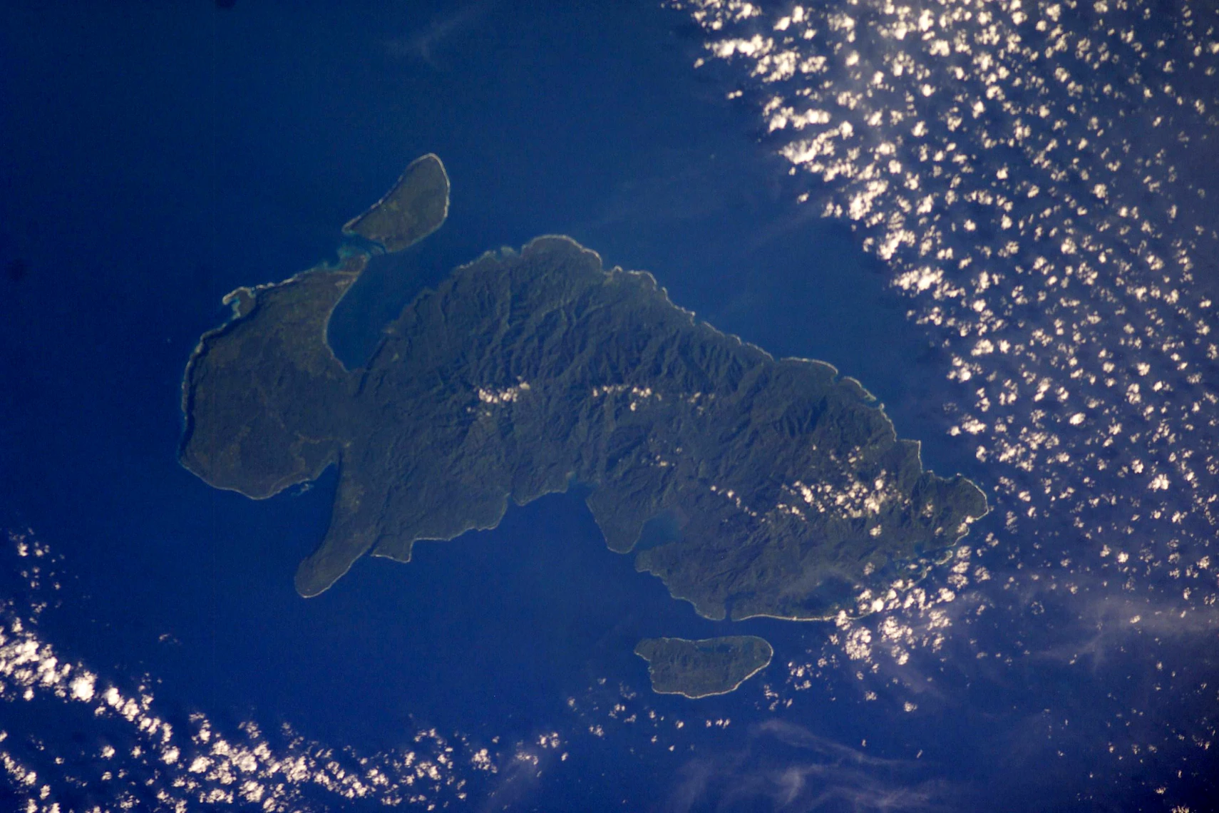
The 2025 government report describes limestone and deposits of volcanic ash in the Santa Cruz Islands. It links the emergence of the islands to tectonic uplift. In the astronaut photograph taken on 20 March 2003, the ridges of Nendö show up as a darker, deeply cut interior, with short valleys running towards the coast.
On the slopes above Graciosa Bay, a 2014 field team found tree ferns and palms growing beneath the canopy in steep-sided gullies.
Forest surveys and the Santa Cruz shrikebill
In September and October 2014, Ray Pierce and a local field team observed two groups, probably pairs, of the Santa Cruz shrikebill (Clytorhynchus sanctaecrucis) in steep-sided gullies above the Bullet Point area of Graciosa Bay, one group at approximately 100 metres elevation and one at approximately 230 metres. The team recorded the local name for the bird as Upulalir. Tree ferns and palms were noted as prominent features of the habitat at both sites.
BirdLife International and IUCN cite two museum specimens from 1927 and sightings of pairs in 2004. Guy Dutson used his field observations from Nendö and a study of museum specimens to make the case for classifying the island’s shrikebill as a distinct species in 2006.
The 2013 earthquake and tsunami
On 6 February 2013, an earthquake off the Santa Cruz Islands displaced water and sent a tsunami into Lata and several coastal villages on Nendö. Thorne Lay and colleagues described the earthquake as a magnitude 8.0 event. A later study modelled how the rupture sent waves towards the island.
The Institute of Developing Economies, JETRO, mapped effects at settlements around the coast. Read alongside the forest survey above Graciosa Bay, those records identify very different environments on the same island, from the low shore to the forested gullies inland.