
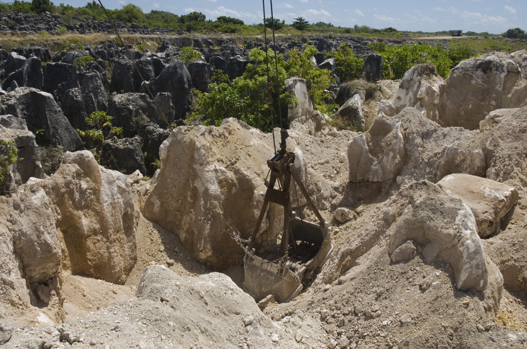
Phosphate between the pinnacles
On 5 July 2007, photographer Lorrie Graham recorded a grab bucket lowered into pale material, with darker rock pinnacles and plants behind it. AusAID identified the operation as secondary phosphate extraction. Miners first took the deposits near the surface. Later workings reached deeper material, as documented in a 2012 field assessment.
A claim for land rehabilitation
Nauru gained independence in 1968. On 19 May 1989, it brought a case before the International Court of Justice against Australia over the rehabilitation of certain phosphate lands mined under Australian administration. The two countries signed a settlement on 10 August 1993 and notified the Court in September that they had agreed to end proceedings.
Planning for higher ground
Nauru launched its Higher Ground Initiative in 2021. Much of the island’s housing and infrastructure sits on the low coastal strip, while mining disrupted the higher ground inland. In its third contribution to the UN climate convention, Nauru set out plans to rehabilitate Topside, develop housing inland and improve drainage through land grading. The plan also includes rainwater collection. At the time of that report, the land-use master plan was ready and pilot housing still needed funding.