
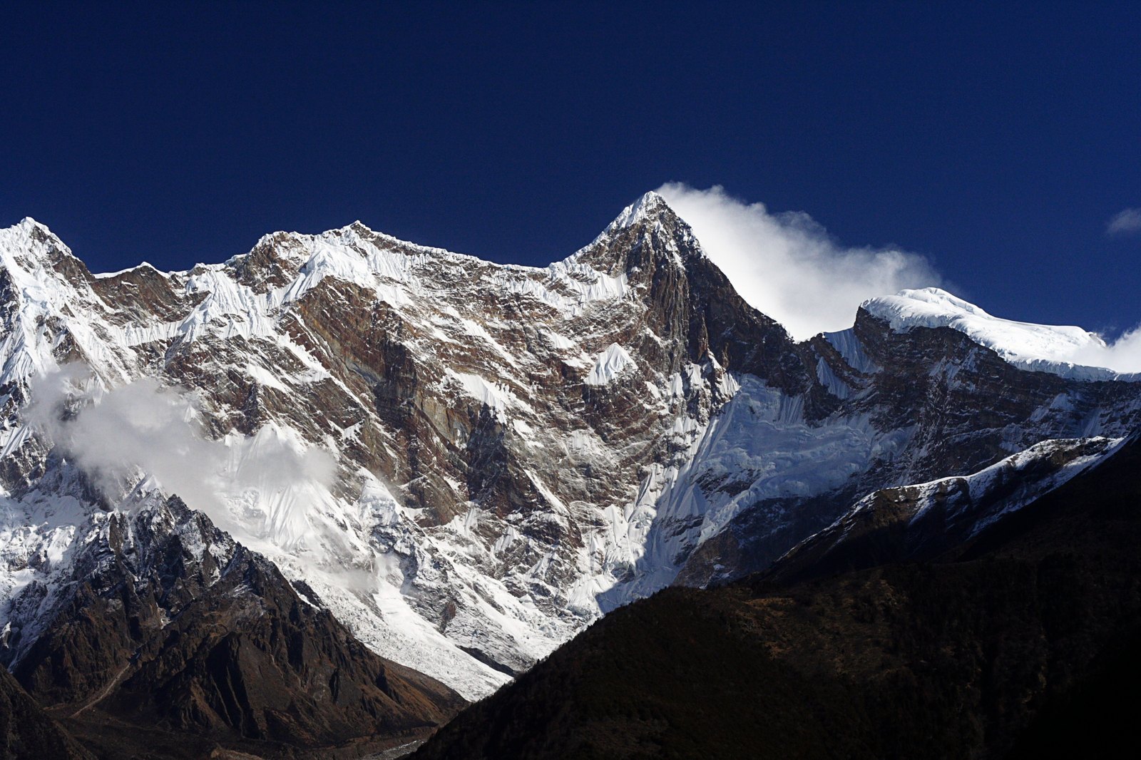
Elevation Data and Measurement Discrepancy
Official sources record two different elevations for Namcha Barwa: the General Administration of Sport of China's standard climbing data uses 7,782 metres, while local gazetteers record 7,787 metres. This discrepancy stems from differences in measurement methods and datum selection across different periods and institutions; both figures are documented, and readers citing either should note their source and should not treat either figure as the sole authoritative value.
Namcha Barwa stands at the eastern end of the Himalayas and has a close spatial relationship with the geological structure of the Yarlung Tsangpo Grand Canyon. It is precisely the topographic relief accumulated at this great-bend zone that gives the peak its distinctive position in the alignment of the range, setting it apart from other Himalayan peaks.
The 1992 Sino-Japanese Joint Expedition
Historical records of the Ngari Prefecture People's Government document that in 1992, a joint climbing team composed of both Chinese and Japanese mountaineers successfully reached the summit of Namcha Barwa. This ascent was a significant milestone in the peak's climbing history and a concrete outcome of the exchange and cooperation between the Chinese and Japanese mountaineering communities in high-altitude exploration, cited as a representative case in the relevant administrative records.
Canyon Landscape and Mountain Character
The Yarlung Tsangpo Grand Canyon and Namcha Barwa are geographically interdependent: the canyon turns sharply because the mountain blocks its path, while the peak appears all the more precipitous by virtue of the canyon's deep incision. This interweaving of mountain and river makes the area within Linzhi City an important site for studying the geomorphological evolution of the eastern Himalayas, and provides the essential natural context for understanding the peak.