
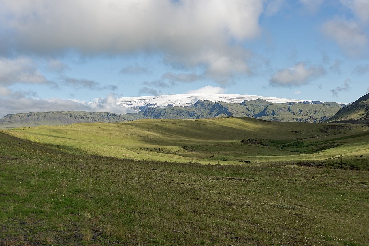
Ice Cap and Volcanic Foundation
The Icelandic Institute of Natural History mapped Mýrdalsjökull at 510 square kilometres in 2023, making it one of the more extensive ice masses in the country. Beneath the ice lies the Katla volcanic system, documented by the Smithsonian Global Volcanism Program as the geological reference point for the landform. The University of Iceland Institute of Earth Sciences monitors ice cauldrons — depressions formed at the ice surface above geothermal areas where heat melts cavities at the ice base — as part of ongoing Katla surveillance.
Outburst Floods and the 1918 Eruption
When volcanic activity penetrates the ice, meltwater and sediment mobilise rapidly and discharge across the sandur lowlands to the south. The last documented event of this kind was in 1918, according to the Icelandic Meteorological Office, when an eruption broke through the ice cap and produced a large glacial outburst flood.
Sólheimajökull Outlet Glacier
Sólheimajökull extends from the southwestern margin of Mýrdalsjökull and is the most closely observed of the ice cap's outlet glaciers. The Katla UNESCO Global Geopark records terminus observations beginning in 1930 and notes that combining those measurements with historical aerial photography extends the documented record of the glacier's changing extent.