
Geology and Rock
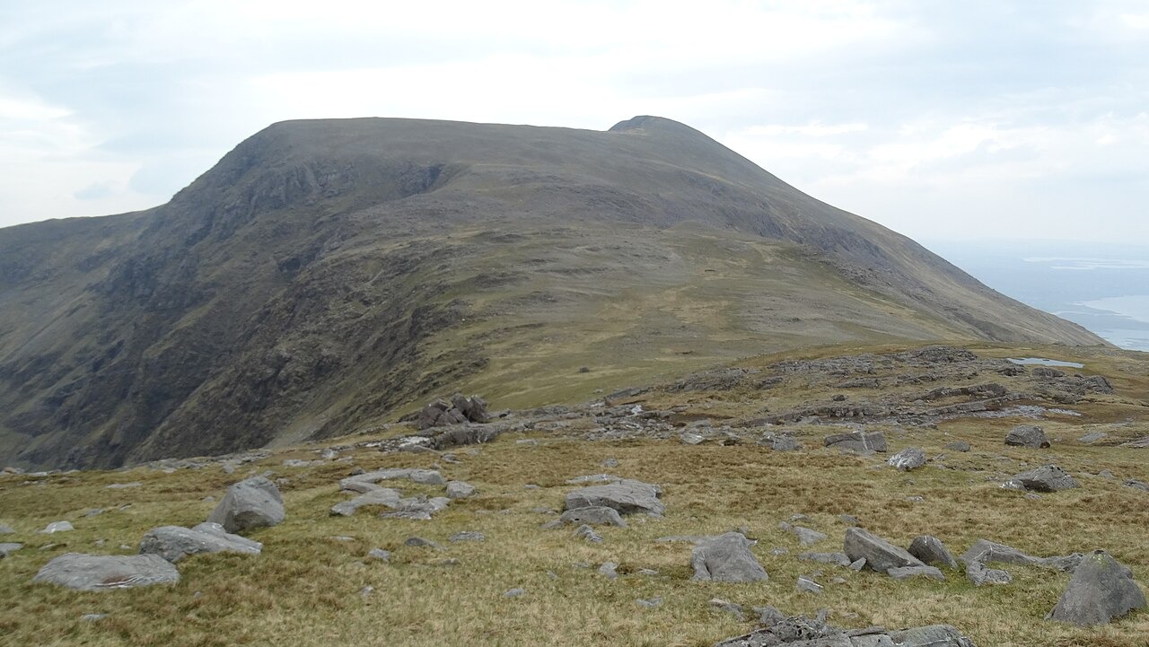
The National Parks and Wildlife Service upland survey describes Mweelrea as composed of red sandstone and conglomerate with slate bands, the rock forming the steep ridges and glacially carved corries that define the mountain's profile. The broader Mweelrea Formation contains interbedded ignimbrite layers, volcanic ash-flow deposits laid down in a shallow-water and river-influenced environment during the Ordovician period. A field study sampling ash bands within the formation produced a radiometric date of approximately 464 million years.
Upland Habitats and Protected Status
Mweelrea lies within a Special Area of Conservation spanning the Sheeffry and Erriff uplands and the Killary coast, given updated legal designation under 2023 Irish statutory instrument. The NPWS upland habitat survey documents blanket bog and heath across the surveyed high ground, along with named lakeshore habitats at lower elevations.
Position and Massif
Its position directly above Killary Harbour places it at the junction of a marine inlet and a system of high glaciated ridges. The surrounding massif includes Ben Bury and Ben Lugmore, forming a coherent upland block in County Mayo.