
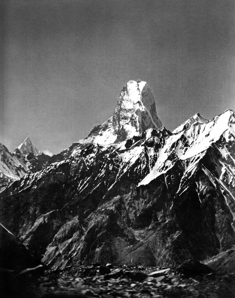
Sella's 1909 Photograph
Vittorio Sella photographed the tower above the Upper Baltoro Glacier during the 1909 Duke of the Abruzzi K2 expedition. The image documents the mountain's pronounced vertical relief and forms part of Sella's photographic record from that journey through the central Karakoram.
1956 British and French Ascents
The British expedition of John Hartog, Joe Brown, Tom Patey, and Ian McNaught-Davis made the first ascent of Muztagh Tower in 1956 by the northwest ridge, reaching the west summit on 6 July and the higher east summit on 7 July, as Hartog recorded in his firsthand account. A French expedition then completed the second ascent of the mountain on 12 July by the southeastern ridge, a date and route confirmed by Guido Magnone in his firsthand account published in the Himalayan Journal.
Twin Summits and 2012 Northeast Spur
The 2012 American Alpine Journal documents a new route on the northeast spur and distinguishes the two close summits in its route description. The tower is specific to the Baltoro Muztagh subrange of the Karakoram on the Pakistan–China border, distinct from Muztagh Ata in the Pamirs and from the nearby Skil Brum.