
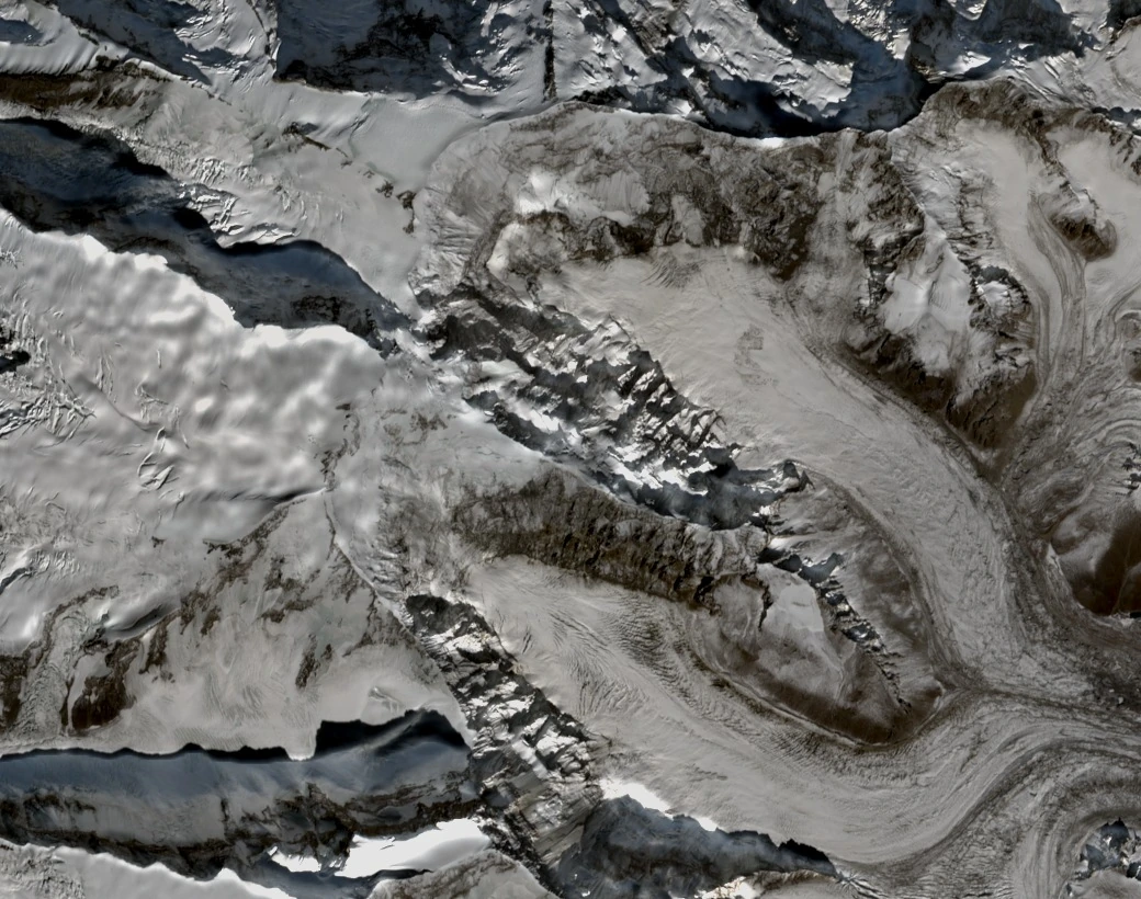
Landform and Glacial Setting
Xinjiang's Department of Natural Resources attributes the mountain-scale glacial features of the Muztagh Ata massif to Pliocene uplift and Quaternary glaciation. The eastern face descends toward the Kekesayi Glacier — also called Koksel in Lebedev's route report — a debris-covered outlet glacier assigned code G075225E38255N by Holzer and colleagues in their study published in The Cryosphere.
Lebedev describes the eastern wall as roughly two kilometres, rising steeply above the glacier and distinct in character from the ridge lines on either side. The October 2025 Sentinel-2 satellite scene shows the face in natural colour, with rock, snow, ice, and the debris mantle of the Kekesayi Glacier visible across the broader terrain.
Kekesayi Glacier Change Evidence
Holzer and colleagues compared 1973 and 2013 datasets using historic stereo imagery and Pléiades elevation models, finding a roughly stable terminus position for Kekesayi yet distinct surface lowering even beneath the debris cover — a combination in which a stable frontal position coexists with measurable thinning.
A 2023 study by Falaschi and colleagues used Pléiades elevation models to assess the mass balance of Kekesayi Glacier over 2020–2022, finding net loss across the period. The study notes that individual seasons within that interval could still record mass gain.
The East Ridge and Its Naming
Walter Keller, Daniel Mazur, and Jon Otto made the first ascent of the East Ridge on 16 July 2000, as recorded in the American Alpine Journal. Their route followed the Potterfield Glacier, crossed the Waugh Plateau, and gained the ridge above a steep mixed rock, ice, and snow buttress they called the Arrowhead, before the party summited and descended by the normal route on the west flank.
The 2006 AAJ report records the second ascent of the same line by Kazuya Hiraide and Kei Taniguchi (平出和也 and 谷口けい) on 5 September 2005, with their account referring to the feature as the Southeast Ridge where the earlier account uses East Ridge for the same Potterfield approach. Both accounts follow a ridge line above and beside the eastern wall.
East Face Massif Position
Lebedev describes the eastern face as lying below and east of the main Muztagh Ata summit, which rises upslope and to the west. Kuksay, also known as Northern Muztagh Ata, lies to the north and blocks the main summit from the northwestern view at Karakul Lake.