
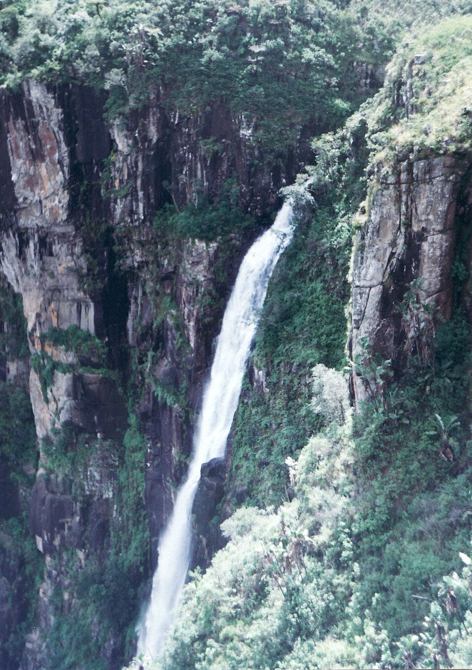
762-Metre Published Drop into the Honde Valley
Zimbabwe Parks and Wildlife Management Authority records an overall waterfall drop of 762 metres for Mutarazi Falls, the figure cited in the authority's Nyanga National Park documentation. The fall occurs where the Mutarazi River leaves the plateau rim and plunges toward the agricultural lowlands of the Honde Valley. The Honde River and the Pungwe drainage connect downstream, and the Nyanga Rural District Council identifies Pungwe Gorge separately as a distinct escarpment landform within the same highland system.
Escarpment Platform Documented in the Manicaland Inventory
Zimbabwe Treasury's 2025 Manicaland District Compendium records a visitor skywalk at the escarpment edge, providing a fixed observation platform above the falls. The inventory situates the structure within the broader Manicaland district geography, confirming its presence as a documented feature of the site. Views from the platform extend across the vertical face of the escarpment and into the Honde Valley floor far below.
Highland Plateau and Valley Agricultural Contrast
The Nyanga Rural District Council's district study distinguishes the cool upland plateau, managed within Nyanga National Park, from the warmer Honde Valley catchment and its established smallholder and estate agriculture. This elevation gradient shapes both vegetation zones and land use across a relatively short horizontal distance from the escarpment rim to the valley floor.