
Map Names and Summit Identity
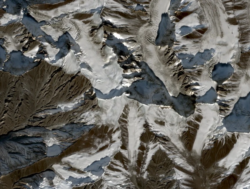
Eberhard Jurgalski's summit inventory records Mush Muztagh under the alternate spellings Muztag and Mushi, differences that reflect transliteration choices rather than distinct geographical objects. The western Kunlun location, at 6,638 m with 1,630 m prominence per World Ribus, places it in a separate range from Muztagh Ata (7,546 m) in the eastern Pamir.
First Ascent, 18 August 1990
On 18 August 1990, two members of an expedition organised by the Tochigi Prefecture High School Athletic Federation of Japan reached the summit, as recorded by Eberhard Jurgalski and corroborated by the Japan Sport Council's historical expedition table. The names of the individuals who summited have not been established in available sources.
University of Tsukuba Acclimatization Study
In 1991, Asano and colleagues from the University of Tsukuba published a paper in the Journal of the Japanese Society of Mountain Medicine examining the effects of high-altitude acclimatization training on the aerobic work capacity of the Mush Muztagh team, one of the few published academic records directly associated with this peak by name.