
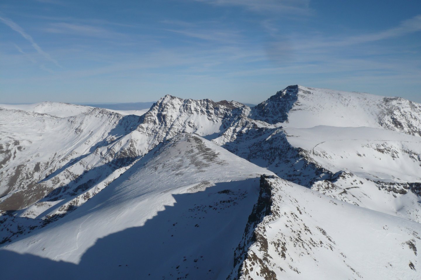
A massif spanning two provinces
Sierra Nevada extends across the far south-east of Granada and the western edge of Almería, forming one of the most rugged and extensive upland areas on the Iberian Peninsula. Mulhacén, the heart of the massif according to route 16 of the Junta de Andalucía, reaches 3,479 metres, an elevation established by the Instituto Geográfico Nacional in its 2025 catalogue and confirmed by Junta de Andalucía documents. Some older sources, such as the MITECO narrative, record the figure of 3,482 metres, but the current official values of the IGN and the Junta are the reference figures.
The altitudinal range of the massif is extraordinary: from the lower foothills to the summit, vegetation zones and climatic conditions succeed one another across what the Junta de Andalucía describes as an enormous span. This variety has fostered the development of a flora with a high degree of endemism — that is, species found natively nowhere else on the planet.
The catchments of Mulhacén
The water that feeds the Genil, the Poqueira, and the Trevélez is born on the slopes of Mulhacén. According to the Junta de Andalucía route, the mountain literally presides over the headwaters of these three rivers, whose diverging courses irrigate very different districts and crops. MITECO notes that the high-mountain streams of Sierra Nevada are driven by snowmelt, which causes a marked rise in flow during spring and early summer.
This hydrological dynamic shapes the landscape of the adjacent valleys: the gullies descending from the summit carry sediments and determine the morphology of the fertile plains that farmers have historically worked. Orography is therefore not merely an altimetric datum; it is the structure that organises water, land, and human settlement across a large part of southern Granada.
The name and the legend
The place name Mulhacén is associated, according to the Junta de Andalucía route, with the Nasrid sultan Muley Hacén, father of Boabdil, the last king of Granada. The narrative recorded in that document links the mountain's name to this ruler and mentions that the summit is traditionally said to be the site of his burial. The Junta itself describes this connection as a legend, so there is no verified documentary evidence that the tomb is located there.
Regardless of its historical accuracy, this tradition places Mulhacén at the symbolic end of the Nasrid kingdom of Granada, whose fall in 1492 marked the close of eight centuries of Muslim presence in Iberia. The mountain thus serves as a geographical horizon and cultural landmark of one of the most studied episodes in Iberian medieval history.
High mountain and endemic flora
The Junta de Andalucía emphasises that Sierra Nevada harbours exceptional botanical diversity, driven precisely by that very extensive altitudinal range. The conditions of the high mountains — stony soils, extreme temperatures, intense solar radiation, and prolonged snow-cover cycles — have over time selected for plants adapted to environments that have no equivalent in most of Europe.
The massif holds the status of a Natural Space and is part of the National Parks network, reflecting both its ecological singularity and the responsibility that its conservation entails. The combination of relief, climate, and biodiversity makes Sierra Nevada, with Mulhacén as its highest point, one of the most valuable natural laboratories on the continent.