
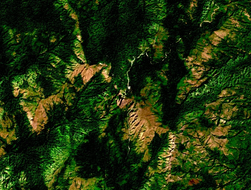
Protected Sanctuary of the Dawna Ridge
The Mulayit Game Sanctuary surrounding the peak was established in 1936 under colonial administration. Myanmar's national reporting to the Convention on Biological Diversity subsequently refers to the area as the Mulayit Wildlife Sanctuary, retaining the mountain's name as the geographic anchor of the protected zone across its administrative reclassification.
Pilgrimage on the Summit
Early sources in the IUCN registry identify Mulayit Taung as a place of pilgrimage, situating the summit within a tradition of sacred mountain veneration that predates the sanctuary's 1936 establishment. The available historical record documents this as a feature of the mountain's cultural landscape without supplying a founding date or attributing the practice to a specific community.
The 1877 Meetan Specimen
BirdLife International's historical Red Data Book compilation documents a white-fronted scops owl specimen collected near Meetan, on the southern slopes of Mulayit Taung, in 1877. This dated collection record from the mountain's southern approaches represents one of the earliest documented occurrences of the species from this part of mainland Southeast Asia.