
First Ascent, July 1951
In July 1951, a New Zealand expedition led by Earle Riddiford reached the summit of Mukut Parbat. Riddiford, Edmund Cotter, and Pasang Dawa Lama completed the climb, as recorded in contemporaneous New Zealand sources including the New Zealand Listener and first-person correspondence from the expedition.
Glacier Setting and Terrain
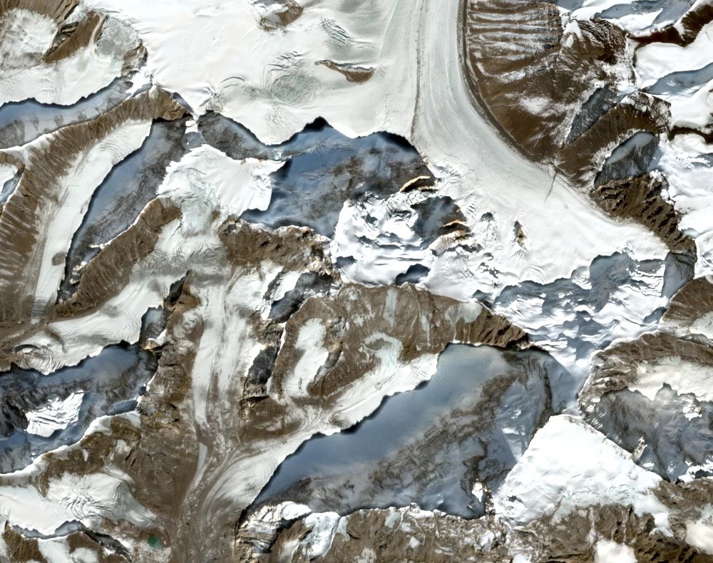
The peak rises directly above the Dakhni Chamrao Glacier on Kamet's northwest flank. High glaciated ridges characterize the surrounding terrain, with Kamet forming the dominant presence to the southeast. The mountain's position along the India–China border places it among the more remote summits of the central Garhwal Himalaya.
Northwest Ridge Attempt, 1989
A 1989 account documents an attempt on Mukut Parbat via the northwest ridge, approached from the Dakhni Chamrao Glacier. The effort represents a distinct direction of exploration on the mountain, extending documented climbing activity beyond the 1951 ascent into a separate line on the peak.