
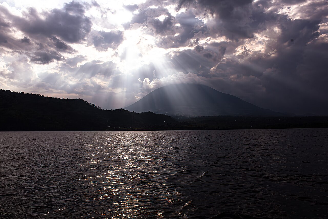
Form and Summit Geology
Muhabura's silhouette is defined by its steep, symmetrical cone, a form associated in the Uganda Wildlife Authority management plan with its probable status as the youngest of the three Mgahinga volcanoes. No confirmed construction date or last eruption date has been established. At the apex sits a small crater lake approximately 36 metres across, as recorded in Uganda's UNESCO World Heritage tentative-list submission. That lake occupies the open summit crater of Muhabura; the neighbouring volcano Gahinga has a larger crater filled with swamp rather than open water.
Afro-Alpine Ecology
The Uganda Wildlife Authority management plan notes that the Afro-alpine zone is best developed on Muhabura among the three Mgahinga volcanoes. This high-altitude belt is characterised by giant groundsels and giant lobelias, plant genera whose large forms are a distinctive feature of the mountain's upper slopes.
The mountain's flanks contribute to the hydrology of the broader Mgahinga landscape. The Kabiranyuma stream, which flows northward, originates in the wetland occupying the saddle between Muhabura and Gahinga. This saddle wetland functions as a catchment where moisture accumulates between the two peaks, feeding surface drainage across the park's northern terrain.
Position in the Mgahinga Landscape
Muhabura forms the easternmost point of the trio of volcanoes managed within Mgahinga Gorilla National Park, with Gahinga to its west and Sabyinyo further west still. At 4,127 metres it is the tallest of the three. The mountain straddles the Uganda–Rwanda border, and the park management framework reflects this transboundary geography. Its name also appears in sources as Muhavura, an alternate spelling used in some Rwandan and Ugandan documents, though both refer to the same summit.
The park encompassing Muhabura's Ugandan slopes has been included on Uganda's tentative list for UNESCO World Heritage status on the basis of the area's volcanic landscape and biodiversity.