
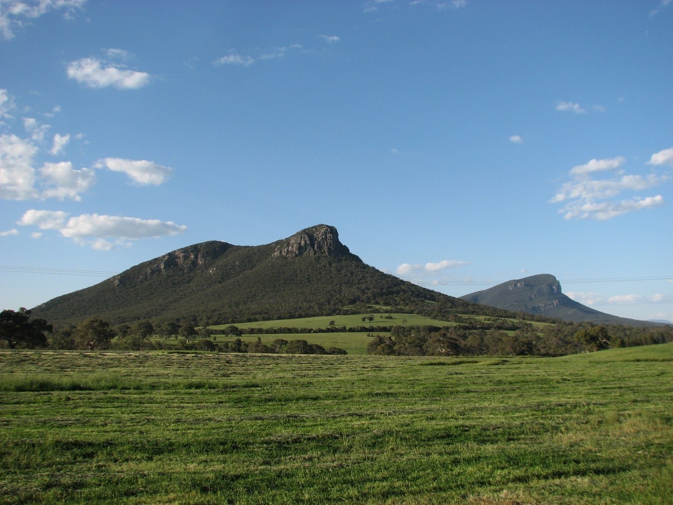
Southern Sentinel of Gariwerd
The mountain rises steeply from pastoral country south of the main Gariwerd ranges, with the Serra Range extending northward along the park's spine. Signal Peak stands nearby as a separate summit. Parks Victoria identifies exposed rock slabs, heath, and stunted vegetation on the upper ridge, shaped by altitude and wind exposure.
Summit Terrain and Trig Station
A steel trig station marks the rocky summit of Mud-Dadjug / Mount Abrupt. The exposed rock platform at the top reflects the stripped, weather-worn character of the upper slabs, which give way to heath communities lower on the ridge before vegetation thickens on the descent toward the plains.
Aboriginal Naming and the Peaks Trail
Mud-Dadjug is the Aboriginal name recorded for this mountain. Parks Victoria's Greater Gariwerd Landscape Management Plan documents collaboration with local Traditional Owners in naming campsites along the Grampians Peaks Trail. The mountain forms part of that trail network, connecting it to a sequence of summits across the Gariwerd landscape.