
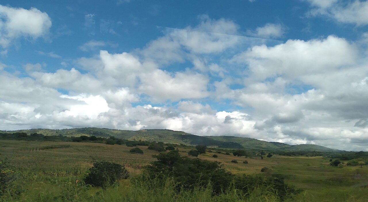
East-Facing Fault Scarp and Measured Relief
Topographic profiles measured in the central Luangwa Valley record an escarpment height of around 1,700 metres and a horizontal relief of up to one kilometre across the steepest sections. Research published in Geochemistry, Geophysics, Geosystems under DOI 10.1029/2019GC008746 examined fault geometry across the Central African Plateau and documented distinct fault-controlled terraces along the escarpment face.
Late Pleistocene Gravel Deposits and Drainage Interpretation
Geomorphological survey work published through Aberystwyth University identified Late Pleistocene gravel deposits in the central Luangwa Valley. The study interprets these as evidence of drainage evolution, noting that the gravels may have originated from the escarpment face or from an intermediate source zone, a distinction the authors leave open.
Mutinondo Wilderness and the UNESCO Tentative Submission
Mutinondo Wilderness, a private conservation area within the broader Muchinga landscape, appears on Zambia's UNESCO World Heritage Tentative List under submission 6997. The nomination describes granite and gneiss inselbergs, river systems, and views toward the escarpment as features characteristic of that specific locality.