
Landforms and Geology
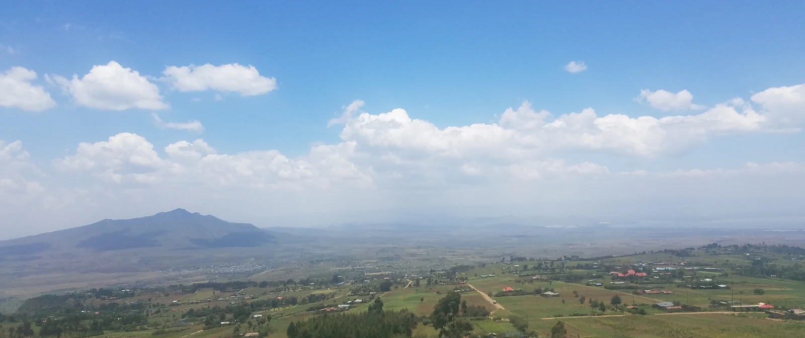
W. A. Fairburn of the Geological Survey of Kenya traversed the region during fieldwork in 1956 and 1957, publishing his survey in 1963. Within the Mua Hills he identified surviving fragments of what had once been a broad, gently sloping erosion surface, now interrupted where streams have cut back into the uplands as they drain westward. His field observations recorded a local specimen — catalogued as 52/508 — of pale to buff granitoid gneiss carrying a fine foliation of parallel dark biotite flakes. Fairburn also documented a remnant of volcanic tuff accumulated against the western flank of the hills, a deposit geologically distinct from the surrounding gneiss.
Drainage and the Catchment
Loise Nduku Kitulu's 2024 University of Nairobi study mapped the Mua Hills settlement area across an elevation range of 1,411 to 2,124 metres, identifying tributaries of the Athi River within the catchment. The study assessed how slope conditions and land cover affected the potential for surface-runoff collection, and evaluated proposals for small upstream dams and storage ponds above Miwongoni Dam. Fieldwork found that some households used rooftop rainwater collection but held limited water in reserve during dry periods.
Rainfall and the Agricultural Landscape
Machakos County records two rainy seasons each year: March through May and October through December. Upland areas such as the Mua Hills can receive up to around 1,000 millimetres annually, while lowland areas average around 500 millimetres. This altitude-driven difference shapes the landscape, where the cultivated hillside slopes descend toward the drier plains below.