
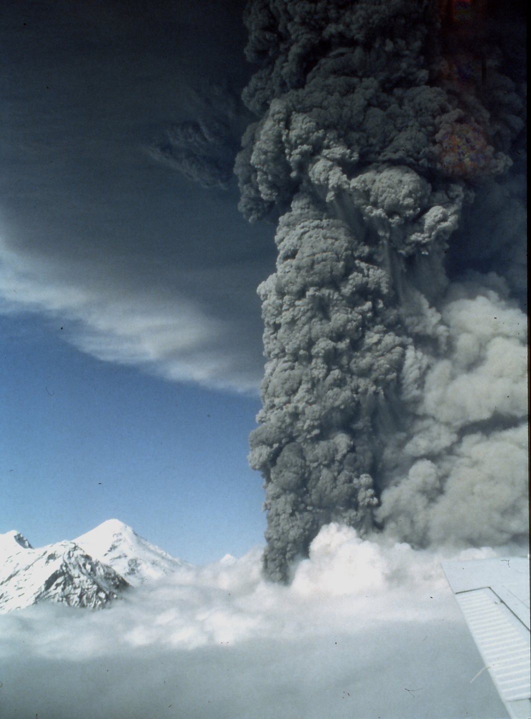
Crater Peak and the 1992 Eruptions
Crater Peak produced explosive eruptions in 1953 and 1992. The 1992 sequence involved three separate explosions in June, August, and September, each generating ash clouds that traveled in different directions. The August 18 event sent ash over Anchorage, closing the airport for approximately 20 hours.
Summit Ice and Thermal Activity
Between 2004 and 2006, the summit dome exhibited hydrothermal activity. Heat from below melted glacier ice, forming an ice cauldron that at times contained a crater lake. Boiling jets and fumaroles were documented by the Alaska Volcano Observatory during this period.
Structure and Setting
The ancestral caldera is roughly three miles wide and open to the southeast. The lava dome summit grew within that older structure, and Crater Peak occupies the southern margin of the caldera. The mountain's current form reflects this sequence of collapse followed by later volcanic construction within the same system.