
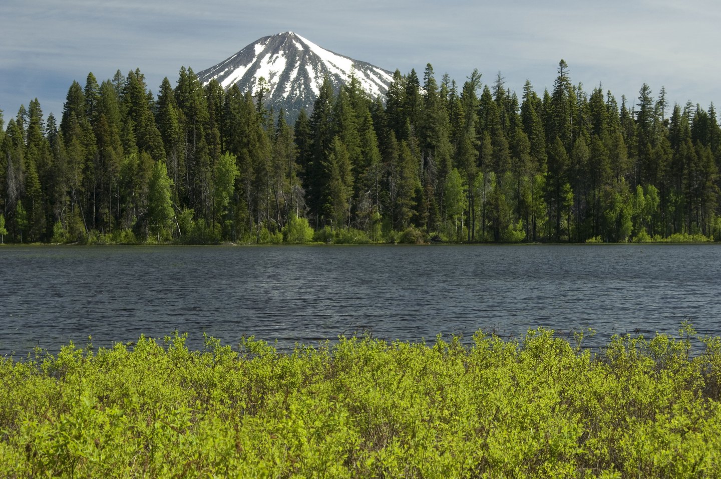
Volcanic Architecture
Oregon DOGAMI describes Mount McLoughlin as the product of alternating effusive and explosive phases, with andesitic lava flows issuing from summit and flank vents building the cone in successive stages. Glacial erosion later cut into the northeastern side of the edifice, exposing the pyroclastic interior beneath the outer lava covering and producing the irregular summit profile visible today. The youngest small lava flows are attributed broadly to late Pleistocene activity, though sources vary on precise dates and no confirmed eruption date has been established.
Glacial Imprint
Pleistocene glaciation concentrated its deepest carving on the northeast face of Mount McLoughlin, excavating a cirque headwall that now defines the upper summit. That erosion removed substantial portions of the outer cone, leaving a compact, steep-sided peak whose asymmetry reflects the direction and scale of ice work on that exposure. The forested lower flanks preserve the structural record of repeated volcanic construction and glacial removal.
Watershed Connection
The lower western flank of Mount McLoughlin falls within the municipal watershed that supplies Medford. Snowmelt percolates through the porous volcanic layers of the flanks and emerges at Big Butte Springs, a source that has been part of Medford's water system since 1926. The layered geology of the volcano creates a documented hydrologic link between precipitation on the upper mountain and the valley's water infrastructure.