
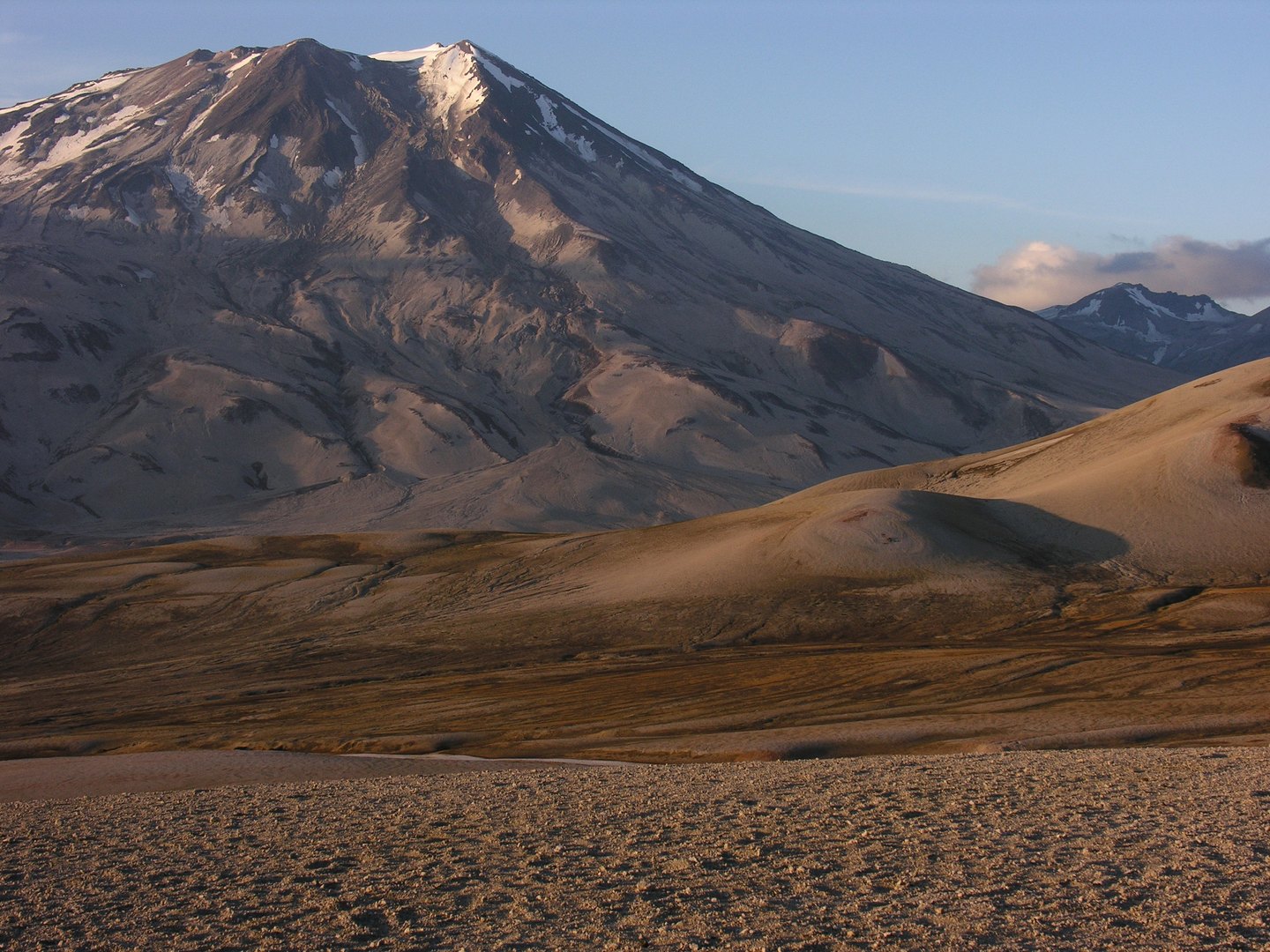
A Crater Breached and Rebuilt
The outer crater of Mount Griggs measures approximately 1.5 kilometers across and is breached open toward the southwest. Published interpretations attribute the breach and the surrounding debris deposits to an early-Holocene collapse. Inside that older structure, a younger cone with its own nested craters grew after the collapse. Mostly andesitic lava flows descend below the collapse scarp across the flanks of the volcano.
Fumarolic Activity
The Alaska Volcano Observatory synthesis documents sulfur-rich fumaroles concentrated around the inner cone and along the upper southwest slope of the mountain, accompanied by conspicuous sulfur deposits and fumarole jets visible at the surface. The fumarole observations and the collapse deposits represent separate features of the volcano. No historical eruption has been documented for Mount Griggs.
Naming and Exploration
The peak was formerly called Knife Peak and stands above Knife Creek. In 1956 it was renamed for Robert Fiske Griggs, the botanist who led National Geographic Society expeditions to the Katmai region following the 1912 eruption.