
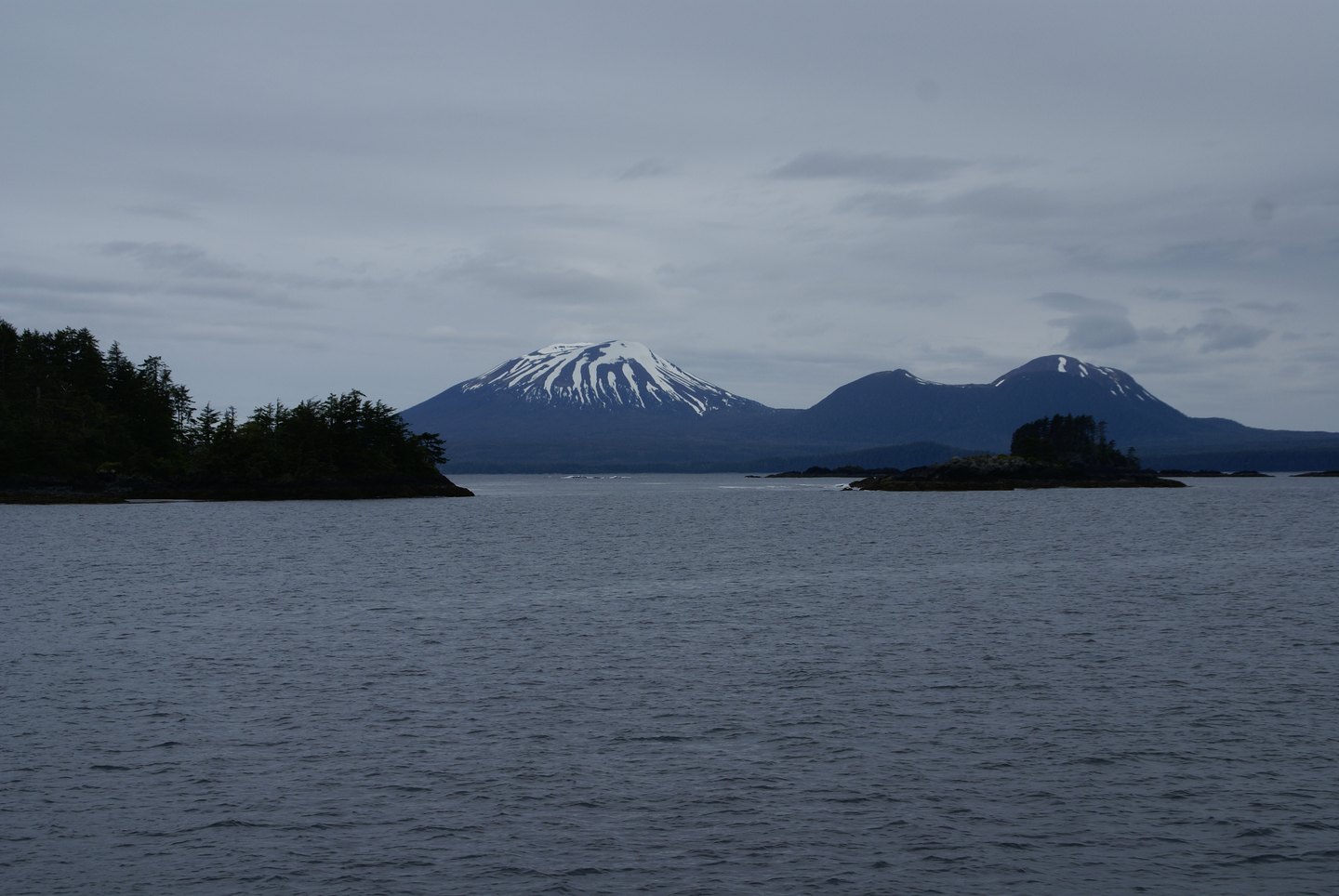
A Volcanic Field in Two Parts
The mountain's visible cone is one component of the Edgecumbe volcanic field. Crater Ridge, a separate feature within the same field, contributed rhyolitic material distinct in composition from the main stratovolcano. The combination of an older shield foundation, a younger andesitic summit cone, and rhyolitic satellite structures reflects the field's extended eruptive history spanning the late Pleistocene into the early Holocene.
Subsurface Unrest Detected After 2018
An earthquake swarm in April 2022 prompted the Alaska Volcano Observatory to reexamine satellite radar data, finding that ground uplift had been underway since at least August 2018. The uplift was centered roughly 2.5 kilometers east of the summit cone and spanned an area approximately 17 kilometers across. AVO interpreted the combined signal of sustained uplift and seismicity as consistent with a possible subsurface magma intrusion, though this remains an interpretation of the available geophysical data.
Eighteenth-Century Expedition Names
A Spanish expedition led by Juan de la Bodega y Quadra visited the area in 1775 and applied a name associated with San Jacinto. James Cook assigned the English name Mount Edgecumbe during his 1778 voyage. Observatory records document both expedition names, reflecting the separate traditions through which the peak entered European cartography.