
A Volcano Beneath the Ice
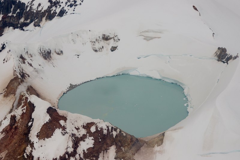
Mount Douglas belongs to the volcanic chain of the Alaska Peninsula's Katmai National Park, with Spotted Glacier blanketing much of the mountain. At the summit, a small ice-free crater holds a lake separate from the glacier ice. Fumaroles vent beside and beneath the lake, depositing sulfur as they release gases. Measurements taken in 1982 recorded a lake temperature of approximately 25 degrees Celsius and a pH of around 1, a highly acidic reading. Those figures reflect observations from that survey year and should not be read as current conditions or a uniform characterization of the entire summit.
Lava Flows and an Uncertain Eruptive History
On the northwest flank, lava flows retain a relatively fresh morphology with limited glacial erosion compared with other parts of the volcano. Geologists have examined this pattern of differential erosion as evidence when reconstructing the mountain's volcanic history, though the age of the most recent eruption remains uncertain. Fumarolic activity indicates ongoing heat at depth but does not by itself establish when the volcano last erupted.
Setting and Access
Mount Douglas sits south of Kamishak Bay within Katmai National Park on the Alaska Peninsula. The park encompasses a chain of volcanoes along the peninsula, and Douglas marks its northeastern end. Remote access and persistent glacial cover make the mountain a subject of monitoring by the Alaska Volcano Observatory rather than a frequently visited summit.