
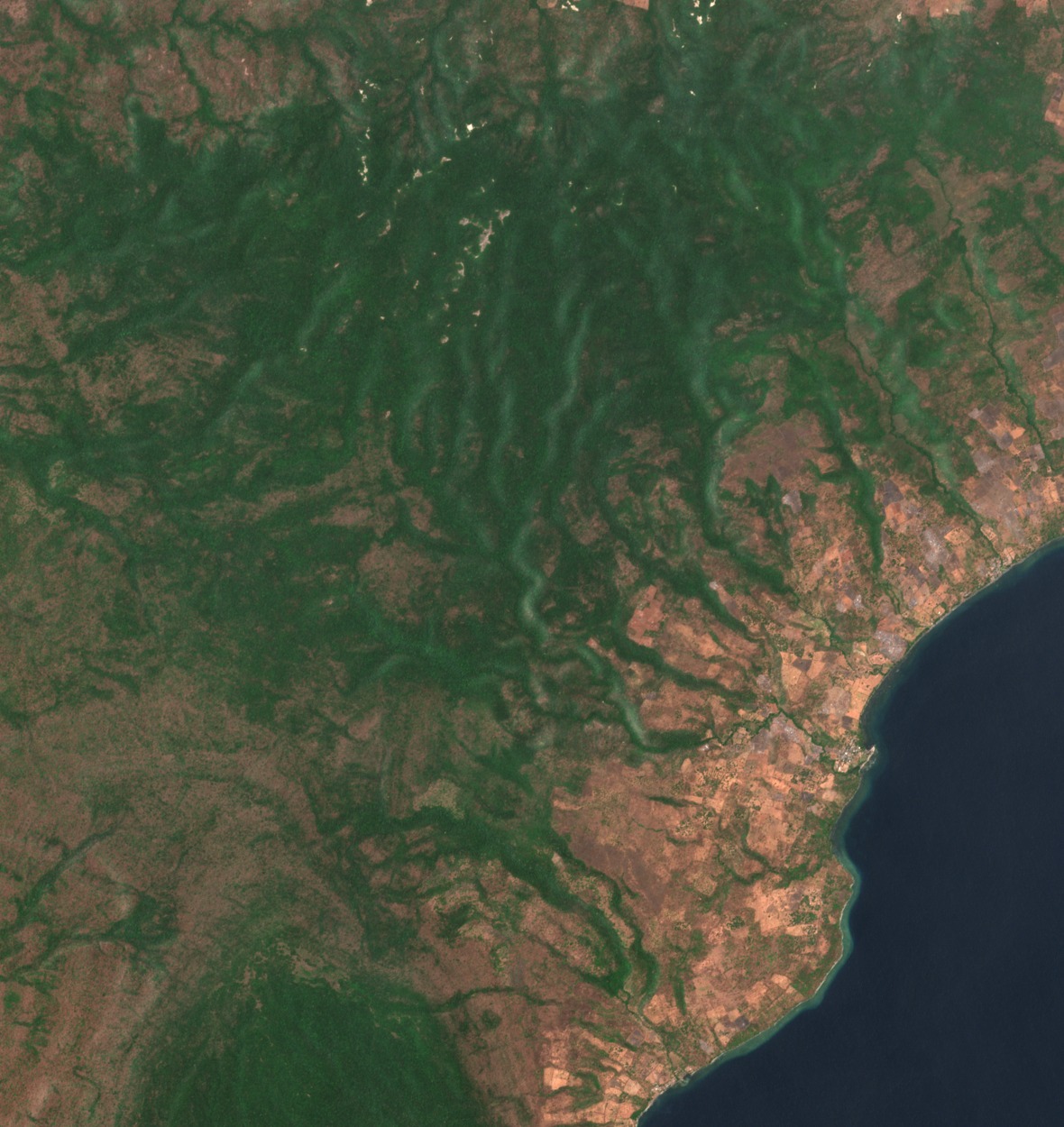
Reef Limestone Foundations
In 2010, Indonesian geologists described Moyo as an island made mostly of reef limestone. They traced its rise above sea level to uplift in the Pliocene and Pleistocene. In Moyo’s north they also mapped sedimentary rock containing volcanic ash.
Airfall Deposits and a Tentative Volcanic Source
The survey identified layered volcanic deposits up to about 50 cm thick, made of ash and lapilli, which are small volcanic fragments. The geologists proposed that this material may have come from Tambora’s 1815 eruption on nearby Sumbawa.
Biosphere Reserve and National Park
UNESCO recognised the regional Saleh–Moyo–Tambora biosphere reserve in 2019. On 16 August 2022 the Indonesian environment ministry designated Moyo Satonda National Park, joining the Moyo hunting reserve with protected marine and nature areas around Moyo and neighbouring Satonda.