
Trachytic to Rhyolitic Composite Structure
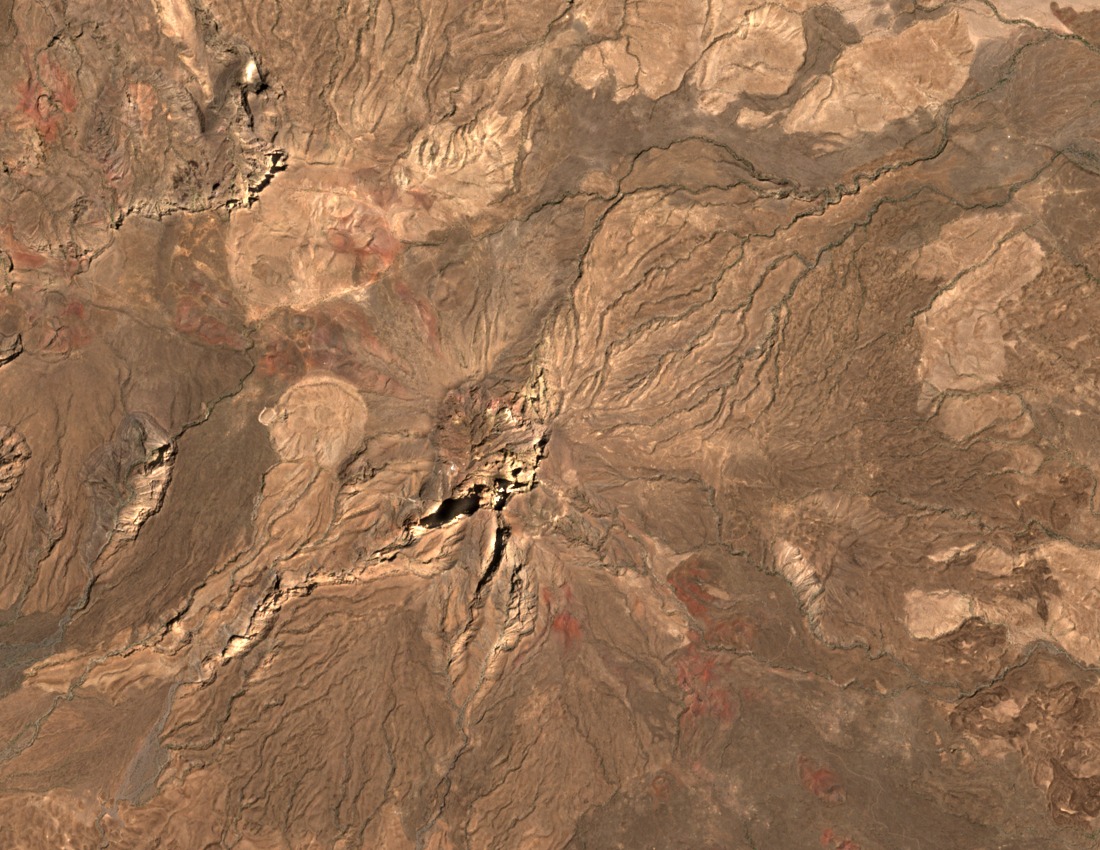
The Smithsonian Global Volcanism Program classifies Mousa Alli as a composite volcano with a trachytic to rhyolitic compositional profile. Lava domes and flows concentrate at the summit, and a caldera truncates the upper edifice. De Fino, La Volpe, Lirer, and Varet documented the mountain's petrology alongside the adjacent Manda-Inakir field in a 1973 study that remains a primary petrological reference for this part of the Afar.
Holocene Volcanic Classification and Flank Deposits
The Global Volcanism Program lists Mousa Alli under its Holocene geologic classification, with no last known eruption date recorded. Scoria cones and associated flows appear on the southeast and northwest flanks, distributions identified through remote observation in the GVP inventory. The Manda-Inakir terrain adjacent to the volcano represents a structurally distinct feature within the same Afar context.
NASA Landsat Imagery and Deposit Coloration
NASA Landsat imagery credited through the Smithsonian reveals strongly colored volcanic deposits across the Mousa Alli edifice and the flanking landscape. The visual record distinguishes the volcano's surface materials from surrounding Afar terrain, capturing deposit distribution at a geographic scale consistent with remote sensing rather than field mapping.