
Alkali-Trachyte Edifice and Pleistocene Rock Record
The Smithsonian Global Volcanism Program identifies the volcano under the name Zikwala, with Zuqualla listed as an alternate. The structure is composed predominantly of thick alkali-trachyte lavas and terminates in a summit depression. Radiometric dates of 1.29 and 0.85 million years derive from sampled rocks within the edifice and anchor known activity to the Pleistocene epoch.
Lake Ziqualla: 2012 Limnological Survey Findings
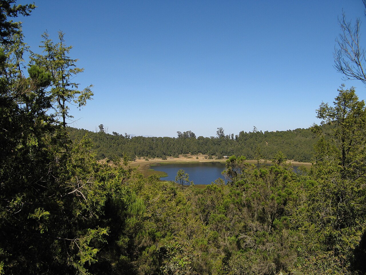
A field survey conducted by Degefu and colleagues in 2012 measured the crater lake at approximately 0.25 square kilometres in area, with a maximum recorded depth of 3 metres. The lake sits roughly 100 metres below the crater rim and is classified as a shallow closed basin. Surrounding vegetation includes forest and reed growth documented by the survey team.
Monastic Community and Documented Sacred Use
The Degefu field team documented that Lake Ziqualla is a sacred lake protected by a local monastic community resident on the mountain. The monks' presence and their role in lake stewardship are recorded as part of the 2012 survey baseline, establishing a direct relationship between the religious community and the conservation of the crater lake environment.