
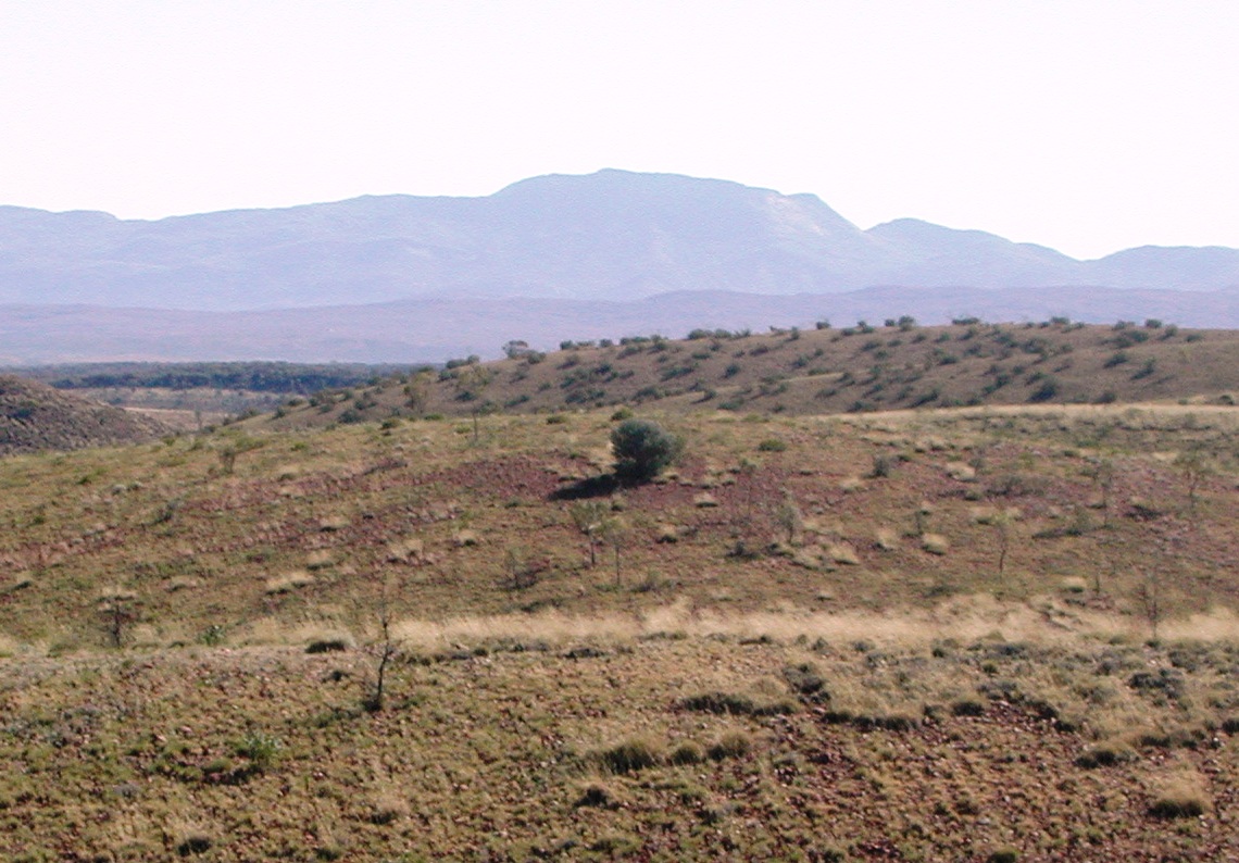
Urlatherrke and the western ranges
Mount Zeil rises to 1,531 metres in the West MacDonnell Ranges, the highest summit in Australia’s Northern Territory. Its Arrernte name is Urlatherrke. The account shared by the Araluen Arts Centre for the public Yeperenye artwork describes ancestral caterpillars travelling to Mparntwe, today’s Alice Springs, from several directions. Urlatherrke is the place from which a group travelled from the west.
How a name reached the map
Ernest Giles recorded high mountains during his 1872 expedition. In the published account of 1875, a note signed F.v.M. records the dedication to Count Zeil, whose earlier expedition had explored parts of the Svalbard archipelago. The Northern Territory gazetteer identifies the probable choice of the name Mount Zeil as that of botanist Ferdinand von Mueller and notes that the name was formally registered in 1959.
Granite and scattered plant populations
The Northern Territory’s botanical survey describes the massif as an isolated block of gneissic granite, rock that acquired a new texture under heat and pressure. The survey also records local populations of Cassinia laevis and Babingtonia behrii, plants otherwise found in areas separated from this mountain. Those records cover the massif and surrounding survey area.