
Landform and Setting
Yasur did not form in isolation. The cone grew above the lowered northeastern flank of the older Tukosmeru volcano, inheriting a landscape already shaped by earlier volcanic processes. The caldera it occupies — Yenkahe — is itself a product of prior collapses, and the surrounding terrain bears evidence of ongoing geological activity: volcanic fractures, accumulated deposits, and measurable ground movement all attest to a broader system in motion beneath the cone's relatively modest profile.
Structure of the Summit Crater
The summit crater's near-circular geometry, stretching roughly 400 metres in diameter, reflects the sustained and largely symmetric nature of Yasur's eruptive history. The cone itself forms a compact edifice, and its position within the Yenkahe caldera means that the broader depression frames and partially contains the structure. This nested arrangement — active cone within older caldera, caldera itself within a landscape still tectonically and volcanically live — gives the site a layered geological character that extends well beyond the visible summit.
Recorded Activity and Eruptive Character
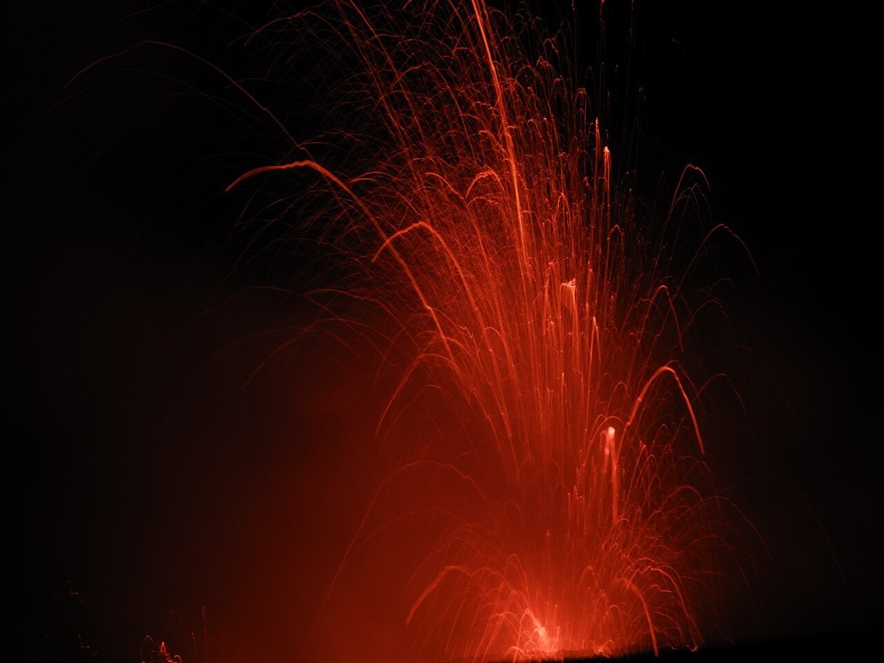
James Cook’s party described ash emissions at Yasur in 1774. The Smithsonian’s record describes repeated Strombolian and Vulcanian explosions. The terms distinguish the characteristic bursts and more forceful explosions that appear in observations of the cone.