
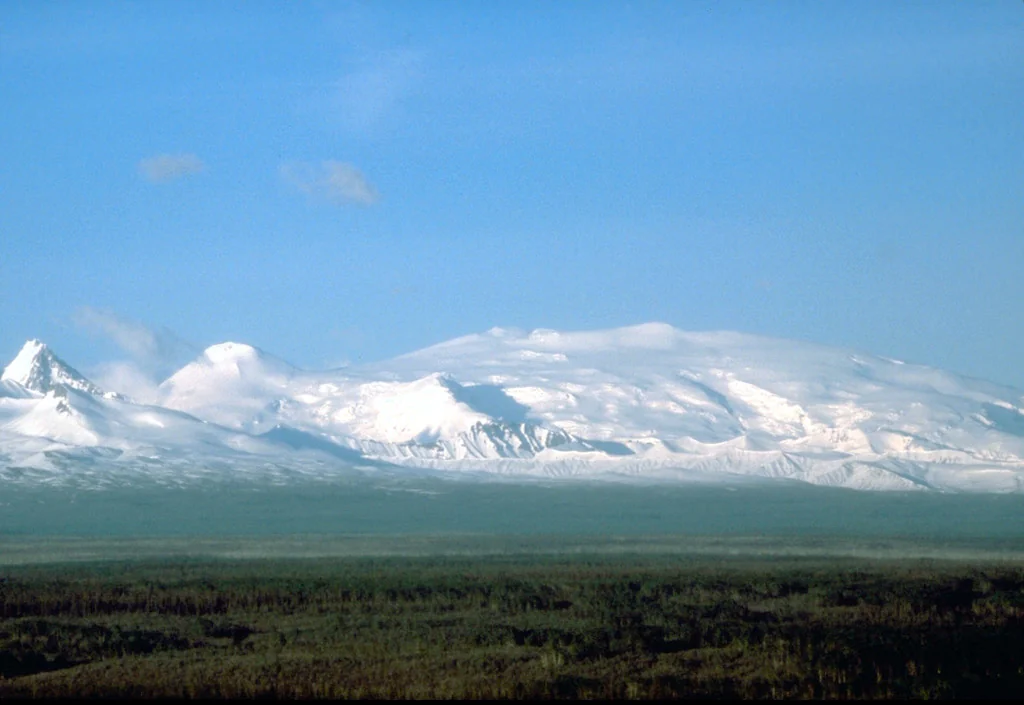
Geology and Eruptive History
The USGS geology record describes Mount Wrangell's main constructional phase as concentrated between roughly 600,000 and 200,000 years ago, when successive lava flows accumulated to build the mountain's characteristic low-angle flanks. That extended period of effusive activity contrasts with the mountain's historically documented behavior, which has been minor in character. Older accounts describing flowing lava have not been confirmed by modern survey, and any visible plumes from the summit area are more accurately attributed to fumarolic activity than to eruption.
The summit caldera — four kilometers by six kilometers in extent and filled with glacial ice — is one of the defining landforms of the Wrangell volcanic field. USGS reports note fumaroles within this ice-filled depression, evidence that residual volcanic heat persists beneath the glacier even as the mountain's surface presents an appearance of frozen stillness. The relationship between geothermal activity and the overlying ice sheet remains a subject of ongoing scientific interest.
Name and Nomenclature
GNIS records associate the mountain's name with the Russian imperial administrator Baron Ferdinand von Wrangel, reflecting the broader legacy of Russian cartographic and administrative presence in Alaska before its transfer to the United States. An alternate name, Tillman, is documented in the record as associated with an expedition led by Henry T. Allen, though this designation did not persist in official usage. The mountain gives its name to the surrounding Wrangell Mountains and, by extension, to the broader volcanic province studied by the USGS.
First Ascent
The USGS geology report records the first ascent of Mount Wrangell as accomplished in 1908. The summit environment is defined by a glacier-covered caldera several kilometers across, set within a landscape shaped by volcanic landforms, glacial coverage, and high-latitude remoteness.