
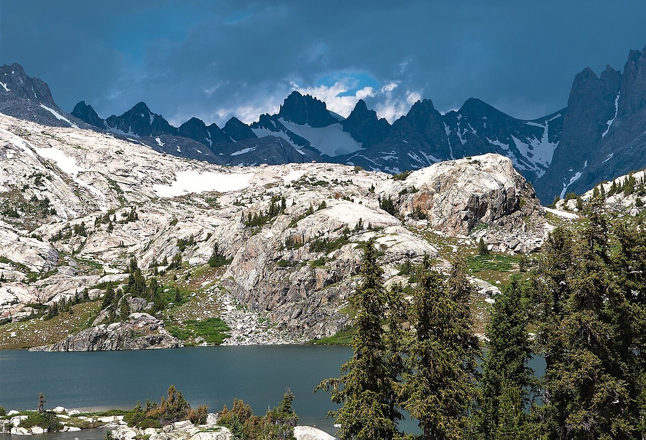
Position and Elevation on the Divide
Mount Woodrow Wilson stands on the Continental Divide directly south of Gannett Peak, Wyoming's highest summit. Older topographic sources assign slightly differing elevations, making approximately 4,120 meters the most defensible figure. The summit occupies a high position within one of the range's most heavily glaciated sections.
Bonney's Case for a Reattributed First Ascent
In a 1960 American Alpine Journal article, Orrin H. Bonney argued that Woodrow Wilson, not the peak bearing Frémont's name, matched the 1842 expedition's recorded latitude and snow-covered summit description. Bonney presented this as a scholarly argument; the conventional account has not been displaced, and the question remains open.
Setting among Ice and Contour
The USGS Gannett Peak quadrangle places Mount Woodrow Wilson in close proximity to Dinwoody Glacier on the range's eastern flank. The map's contours and glacier outlines establish their spatial relationship. This glacially framed setting gave Bonney's argument part of its visual logic — a snow-laden peak the 1842 party might credibly have described.