
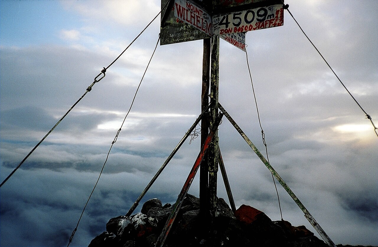
A Peak Defined by Its Place in the Bismarck Range
Papua New Guinea's Department of Foreign Affairs identifies Mount Wilhelm, at 4,509 m, as the country's highest mountain, located within the Bismarck Range that forms part of the central cordillera crossing the main island. The mountain's upper elevations reach well above the treeline into zones governed by cold, wet conditions — an environment whose origins trace back through climatic shifts spanning tens of thousands of years.
The Pindaunde Valley as an Archive of Glacial History
The east-facing Pindaunde valley has served as the focal point for scientific study of Wilhelm's glacial and vegetational past. Its tarns and mires accumulated sediments across the transition from glaciated to present conditions, preserving a continuous stratigraphic record of how the mountain's upper environment was transformed following the late Pleistocene — one that researchers have used to reconstruct both the former extent of ice and the subsequent changes in plant cover.
Pollen Evidence and a 22,000-Year Vegetation Record
Geoffrey Hope reconstructed Wilhelm's vegetation history by comparing fossil pollen extracted from the mountain's mires and tarns against pollen deposited at known modern elevations, using that correspondence to interpret what past assemblages revealed about former conditions. One study site, situated below the former ice limits, yielded a continuous record extending back roughly 22,000 years — long enough to span the last glacial maximum and the warming sequence that followed. By tracking how fossil assemblages shifted relative to modern elevational distributions, Hope was able to chart the vertical migration of plant communities in response to changing temperatures, producing a long-term ecological baseline for the tropical Pacific highlands.