
Landform and Setting
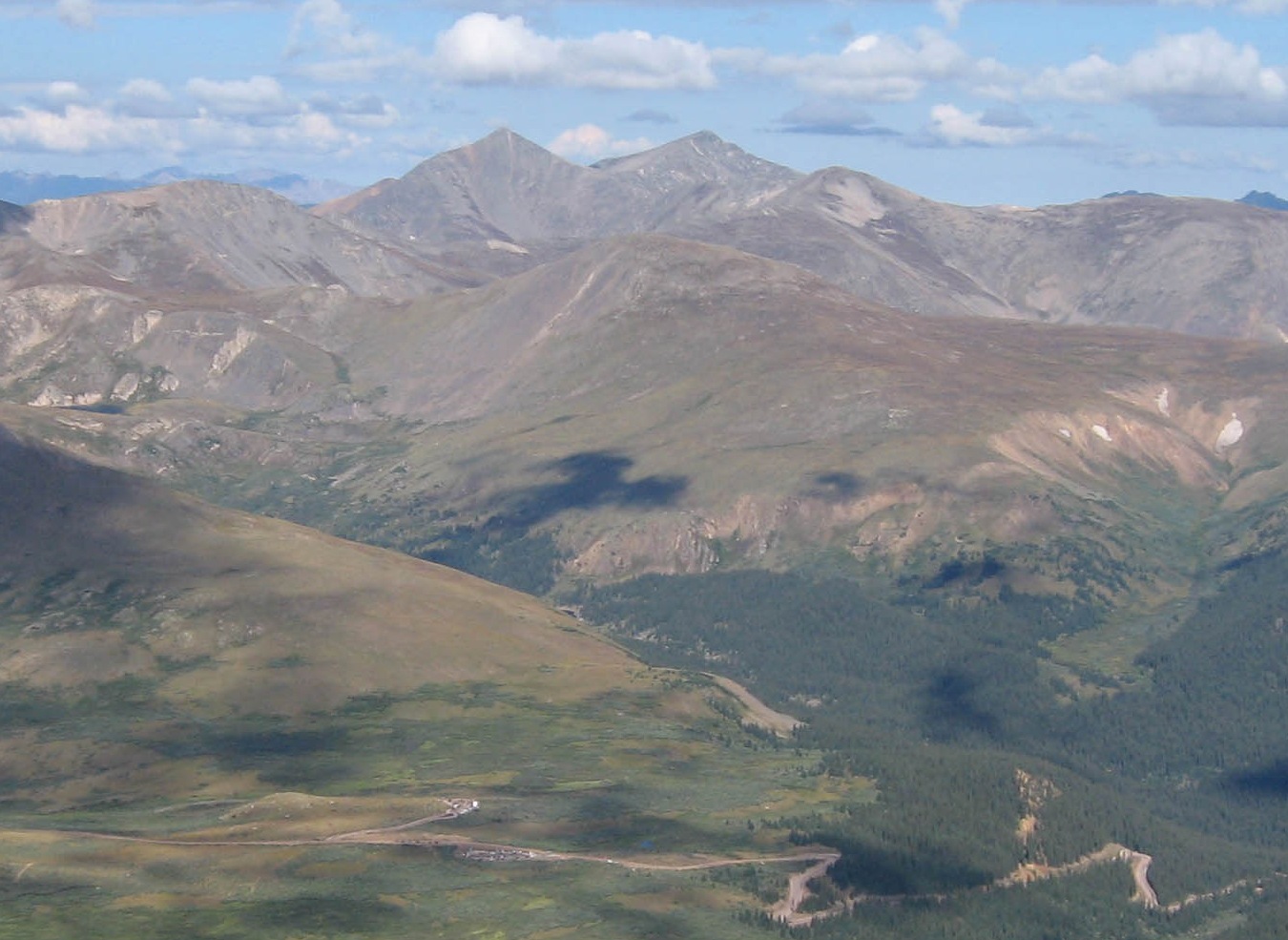
In Laura Scudder’s 2007 photograph from Mount Bierstadt, the broad ridge of Mount Wilcox stands in front of the sharper peaks to the west. It rises above the forest and winding road at Guanella Pass. Geological mapping of the Montezuma area in 2025 describes Proterozoic bedrock and much younger till, the clay, sand and stones that glaciers left across parts of the landscape.
Edward John Wilcox and the Argentine Central Railroad
Edward John Wilcox (1857–1928), a Canadian-born former Methodist preacher, went into mining in Colorado. In 1905 he began preparing the route of the Argentine Central Railroad. In 1906 the railway reached his Waldorf Tunnel. Narrow tracks, set three feet apart, carried freight into the mining district and ore out. The route also took tourists up nearby Mount McClellan. The tracks came up in 1919.
A 1908 entry in the Commercial and Financial Chronicle lists Wilcox as president and traces the line from Silver Plume to Mount McClellan. The railway’s mountain terminus was across the valley from the summit later named for Wilcox.
Naming and Commemoration
The U.S. Board on Geographic Names adopted Mount Wilcox in 1947. On 1 August 1948, a ceremony marked the naming with a bronze plaque commemorating Wilcox and the railroad. Benjamin Draper’s account of the dedication places the mountain above the mining district in which Wilcox worked.